Catering, Inns and Hotels · Undated
Ehemaliges Haus Die Schnecke


© GeoBasis-DE / LVermGeoRP, dl-de/by-2-0
There is no picture of this object yet. Do you have a photo that you would like to make available to the Kulturdatenbank? Submit a picture
Classification
- Subject area
- Architectural and Art Monuments
- Category
- Catering, Inns and Hotels
- Date
- Undatiert
- Period
- Undated
Location
- District
- City of Trier
- Collective municipality
- Verbandsfreie Gemeinde Trier
- Town
- Trier
- Locality / location
- Mitte-Gartenfeld
- Street
- Fahrstraße 2
- Field name
- Ortslage
- Coordinates
- WGS 84: 49.753321, 6.638866 (Position: exact) WGS 84: 49° 45′ 12.0″ N, 6° 38′ 19.9″ E UTM 32 (ETRS89): E 329928 · N 5513880
Sources
Data sources
- [1] 60 Jahre Haas Trier: 1869 - 1929. Trier : Lintz, 1929. Trier, Stadtbibliothek, 2021. https://www.dilibri.de/stbtr/content/titleinfo/2396384
On the internet
Last edited: 5 Mar 2021 Object ID: 50364
https://kulturdb.de/en/objekt/50364-trier-ehemaliges-haus-die-schnecke
Nearby
The nearest objects
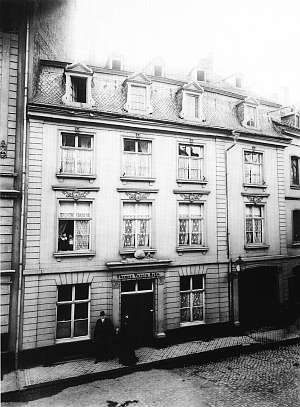 less than 10 m
Town Houses and Commercial Buildings
Ehemalige Gebäude Fahrstraße 1
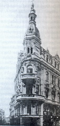 10 m
Catering, Inns and Hotels
Ehemaliges Kaufhaus Haas
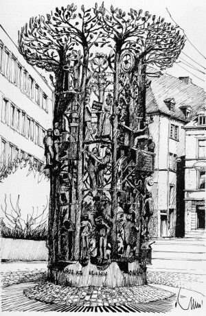 10 m
Works of Art
Handwerkerbrunnen
No picture
20 m
Town Houses and Commercial Buildings
Ehemaliges Gebäude Neustraße 98
No picture
20 m
Catering, Inns and Hotels
Ehemaliges Hotel Zum Franziskaner
20 m
Town Houses and Commercial Buildings
Ehemaliges Haus Zur Schnecke
No picture
20 m
Town Houses and Commercial Buildings
Ehemaliges Gebäude Fahrstraße 13
No picture
30 m
Town Houses and Commercial Buildings