Farmhouses and Farm Buildings · Historicism / Art Nouveau
Ehemalige Schäferei


© GeoBasis-DE / LVermGeoRP, dl-de/by-2-0
There is no picture of this object yet. Do you have a photo that you would like to make available to the Kulturdatenbank? Submit a picture
Description
This description is only available in German.
Translate with Google opens this page in Google Translate (external service)
In den Topographischen Karten von 1885 bis 1930 war hier eine Schäferei eingezeichnet. [1]
Classification
- Subject area
- Architectural and Art Monuments
- Category
- Residential and Farm Buildings
- Object type
- Farmhouses and Farm Buildings
- Date
- 1895
Location
- District
- City of Trier
- Collective municipality
- Verbandsfreie Gemeinde Trier
- Town
- Trier
- Locality / location
- Euren
- Field name
- Eurener Wald Bei Wolfsborn
- Coordinates
- WGS 84: 49.750509, 6.578536 (Position: exact) WGS 84: 49° 45′ 01.8″ N, 6° 34′ 42.7″ E UTM 32 (ETRS89): E 325573 · N 5513706
Sources
Data sources
- [1] Topographische Karte 1:25000 von 1895 https://geo4.service24.rlp.de/client/lf/lawa/
On the internet
Last edited: 12 Mar 2021 Object ID: 50392
https://kulturdb.de/en/objekt/50392-trier-ehemalige-schaeferei
Nearby
The nearest objects
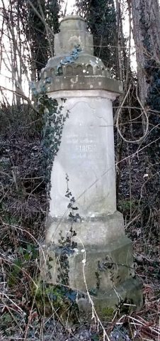 90 m
War Memorials
Kriegerdenkmal
Field Names
Eurener Wald Bei Wolfsborn
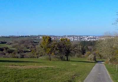 260 m
Viewpoints
Aussichtspunkt
Extraction and Processing of Raw Materials
Ehemaliger Steinbruch
Field Names
Im Büschelchen bei Wolfsborn
Fortresses and Bunkers
Westwall - Gefechtsstand (Inf. Komp.führer)
 430 m
Oaks
Ehemalige Eiche, genannt „Der dicke Koos“
Fortresses and Bunkers