Pilgrimage Routes · 20th Century
Pilgerkreuz


Description
This description is only available in German.
Translate with Google opens this page in Google Translate (external service)
Inschriften:
1983-2008
ST. MATTHIAS-BRUDERSCHAFT
[Senkrecht am Kreuzschaft]
SÖTENICH-TRIER [1]
Classification
- Subject area
- Architectural and Art Monuments
- Category
- Religious Buildings
- Object type
- Pilgrimage Routes
- Date
- Nach 1918
- Period
- 20th Century
Location
- District
- Eifelkreis Bitburg-Prüm
- Collective municipality
- Bitburger Land
- Municipality
- Oberkail
- Field name
- Wascheid
- Coordinates
- WGS 84: 50.047500, 6.687830 (Position: exact) WGS 84: 50° 02′ 51.0″ N, 6° 41′ 16.2″ E UTM 32 (ETRS89): E 334465 · N 5546473
Sources
Data sources
- [1] Sandra Wack, Neuheilenbach, 2021. www.koerbchen-gesucht.de
On the internet
Picture credits
- Picture 1: © Sandra Wack, Neuheilenbach, 2021. www.koerbchen-gesucht.de
- Picture 2: © Sandra Wack, Neuheilenbach, 2021. www.koerbchen-gesucht.de
- Picture 3: © Sandra Wack, Neuheilenbach, 2021. www.koerbchen-gesucht.de
- Picture 4: © Sandra Wack, Neuheilenbach, 2021. www.koerbchen-gesucht.de
- Picture 5: © Sandra Wack, Neuheilenbach, 2021. www.koerbchen-gesucht.de
- Picture 6: © Sandra Wack, Neuheilenbach, 2021. www.koerbchen-gesucht.de
Last edited: 29 Mar 2021 Object ID: 50422
https://kulturdb.de/en/objekt/50422-oberkail-pilgerkreuz
Nearby
The nearest objects
 320 m
Settlements
Römische Siedlungsstelle
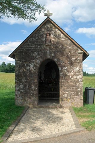 480 m
Wayside Shrine Houses
Sogenanntes Reis-Kapellchen
 710 m
Wayside Shrines and Stations of the Cross
Teufelsstein
Field Names
Im Hetzenborn
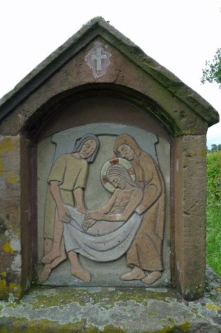 880 m
Wayside Shrines and Stations of the Cross
Kreuzweg Frohnertkapelle - 14. Station
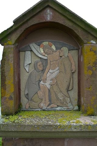 900 m
Wayside Shrines and Stations of the Cross
Kreuzweg Frohnertkapelle - 13. Station
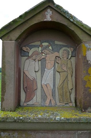 910 m
Wayside Shrines and Stations of the Cross
Kreuzweg Frohnertkapelle - 12. Station
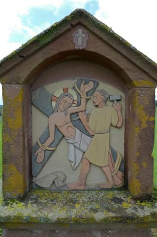 930 m
Wayside Shrines and Stations of the Cross