Street Names · Undated
Bachstraße


© GeoBasis-DE / LVermGeoRP, dl-de/by-2-0
There is no picture of this object yet. Do you have a photo that you would like to make available to the Kulturdatenbank? Submit a picture
Description
This description is only available in German.
Translate with Google opens this page in Google Translate (external service)
Benannt nach dem Weberbach, der früher in dieser Gegend offen floss. [1]
Classification
- Subject area
- History
- Category
- Place Names / Local History
- Object type
- Street Names
- Date
- Undatiert
- Period
- Undated
Location
- District
- City of Trier
- Collective municipality
- Verbandsfreie Gemeinde Trier
- Town
- Trier
- Locality / location
- Trier-Nord
- Street
- Bachstraße
- Field name
- Ortslage
- Coordinates
- WGS 84: 49.764534, 6.644721 (Position: exact) WGS 84: 49° 45′ 52.3″ N, 6° 38′ 41.0″ E UTM 32 (ETRS89): E 330389 · N 5515113
Sources
Data sources
- [1] © Amt für Bodenmanagement und Geoinformation Trier. https://geoportal.trier.de/trier/index.php
On the internet
Last edited: 5 Apr 2021 Object ID: 50430
https://kulturdb.de/en/objekt/50430-trier-nord-bachstrasse
Nearby
The nearest objects
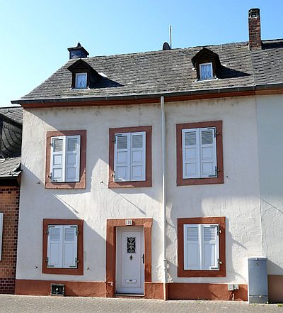 less than 10 m
Town Houses and Commercial Buildings
Wohnhaus
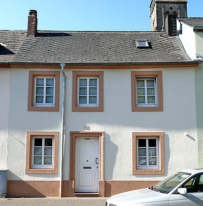 10 m
Town Houses and Commercial Buildings
Wohnhaus
Roman Tombs
Römische Gräber und Grabbauten
Town Houses and Commercial Buildings
Tagelöhnerhaus
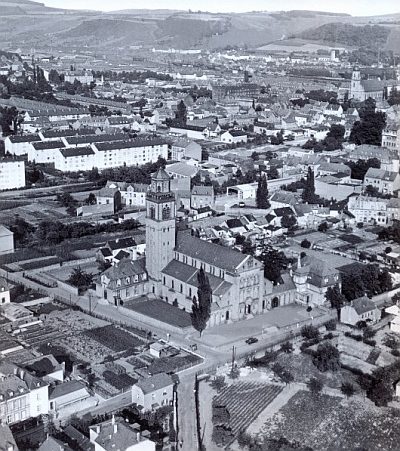 60 m
Catholic Churches
Sankt Martin - Außen
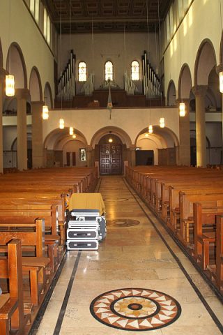 60 m
Catholic Churches
Sankt Martin - Innen (2)
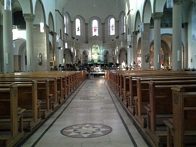 60 m
Catholic Churches
Sankt Martin - Innen (1)
Street Names