Street Names · 21st Century
Im Pi-Park


© GeoBasis-DE / LVermGeoRP, dl-de/by-2-0
There is no picture of this object yet. Do you have a photo that you would like to make available to the Kulturdatenbank? Submit a picture
Description
This description is only available in German.
Translate with Google opens this page in Google Translate (external service)
Lagebezeichnung. Hinweis auf frühere Nutzung des Konversionsgeländes "Pionierpark" durch die französische Armee. [1]
Classification
- Subject area
- History
- Category
- Place Names / Local History
- Object type
- Street Names
- Date
- 2004 [Benennung]
- Period
- 21st Century
Location
- District
- City of Trier
- Collective municipality
- Verbandsfreie Gemeinde Trier
- Town
- Trier
- Locality / location
- Euren
- Street
- Im Pi-Park
- Field name
- Ortslage
- Coordinates
- WGS 84: 49.742694, 6.614611 (Position: exact) WGS 84: 49° 44′ 33.7″ N, 6° 36′ 52.6″ E UTM 32 (ETRS89): E 328144 · N 5512754
Sources
Data sources
- [1] © Amt für Bodenmanagement und Geoinformation Trier. https://geoportal.trier.de/trier/index.php
On the internet
Last edited: 6 Apr 2021 Object ID: 50437
https://kulturdb.de/en/objekt/50437-trier-im-pi-park
Nearby
The nearest objects
Street Names
Nikolaus-Theis-Straße
Street Names
Im Speyer
 280 m
Stolpersteine (Stumbling Stones)
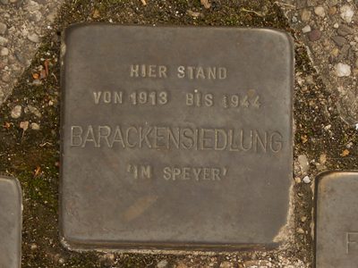
Stolperstein für die Barackensiedlung Im Speyer
 280 m
Stolpersteine (Stumbling Stones)
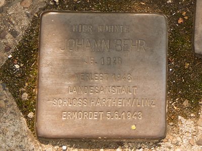
Stolperstein für Johann Behr
 280 m
Stolpersteine (Stumbling Stones)
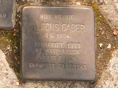
Stolperstein für Alfons Gaber
 280 m
Stolpersteine (Stumbling Stones)
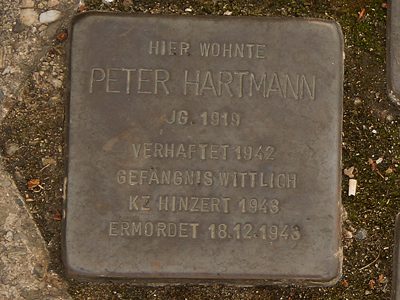
Stolperstein für Peter Hartmann
 280 m
Stolpersteine (Stumbling Stones)
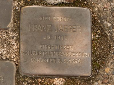
Stolperstein für Franz Jaeger
 280 m
Stolpersteine (Stumbling Stones)