Street Names · 20th Century
Von-Pidoll-Straße


© GeoBasis-DE / LVermGeoRP, dl-de/by-2-0
There is no picture of this object yet. Do you have a photo that you would like to make available to the Kulturdatenbank? Submit a picture
Description
This description is only available in German.
Translate with Google opens this page in Google Translate (external service)
Franz Pidoll (1689 - 1745) legte im Jahre 1683 den Grundstock zur Quinter Hütte durch Errichtung eines Holzkohlenhochofens. 1714 wurde er vom Kaiser geadelt und führte seitdem den Namen Franz Pidoll zu Quintenbach. [1]
Classification
- Subject area
- History
- Category
- Place Names / Local History
- Object type
- Street Names
- Date
- 1984 [Benennung]
- Period
- 20th Century
Location
- District
- City of Trier
- Collective municipality
- Verbandsfreie Gemeinde Trier
- Town
- Trier
- Locality / location
- Ehrang-Quint
- Street
- Von-Pidoll-Straße
- Field name
- Ortslage
- Coordinates
- WGS 84: 49.823970, 6.706150 (Position: exact) WGS 84: 49° 49′ 26.3″ N, 6° 42′ 22.1″ E UTM 32 (ETRS89): E 335014 · N 5521583
Sources
Data sources
- [1] © Amt für Bodenmanagement und Geoinformation Trier. https://geoportal.trier.de/trier/index.php
On the internet
Last edited: 6 Apr 2021 Object ID: 50444
https://kulturdb.de/en/objekt/50444-trier-von-pidoll-strasse
Nearby
The nearest objects
 60 m
Beeches
Blutbuche
70 m
Groups of Trees
Baumgruppe Park am Herrenhaus Quint
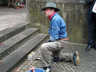 80 m
Stolpersteine (Stumbling Stones)
Stolperstein für Anna Dany
80 m
Groups of Trees
Baumgruppe Park am Herrenhaus Quint
Field Names
Auf dem Taubenberg
Extraction and Processing of Raw Materials
Holzkohleplatz auf dem Taubenberg
90 m
Groups of Trees
Baumgruppe Park am Herrenhaus Quint
100 m
Groups of Trees