Street Names · Undated
Im Falschen Biewertal


© GeoBasis-DE / LVermGeoRP, dl-de/by-2-0
There is no picture of this object yet. Do you have a photo that you would like to make available to the Kulturdatenbank? Submit a picture
Description
This description is only available in German.
Translate with Google opens this page in Google Translate (external service)
Ortsübliche Bezeichnung dieses Tales im Gegensatz zum "Biewertal", durch das der Biewerer Bach fließt. [1]
Classification
- Subject area
- History
- Category
- Place Names / Local History
- Object type
- Street Names
- Date
- Undatiert
- Period
- Undated
Location
- District
- City of Trier
- Collective municipality
- Verbandsfreie Gemeinde Trier
- Town
- Trier
- Locality / location
- Biewer
- Street
- Im Falschen Biewertal
- Field name
- Birkenberg
- Coordinates
- WGS 84: 49.778760, 6.658914 (Position: exact) WGS 84: 49° 46′ 43.5″ N, 6° 39′ 32.1″ E UTM 32 (ETRS89): E 331460 · N 5516662
Sources
Data sources
- [1] © Amt für Bodenmanagement und Geoinformation Trier. https://geoportal.trier.de/trier/index.php
On the internet
Last edited: 6 Apr 2021 Object ID: 50447
https://kulturdb.de/en/objekt/50447-trier-im-falschen-biewertal
Nearby
The nearest objects
Field Names
Trift
Extraction and Processing of Raw Materials
Ehemaliger Steinbruch
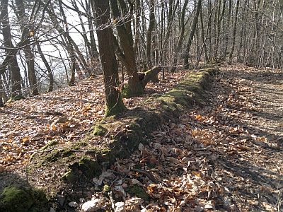 140 m
Fortifications and Military Sites
Römische Befestigung auf dem Joster-Berg
 200 m
Fortresses and Bunkers
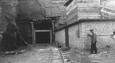
Luftschutzbunker - nördlicher Eingang
 260 m
Wayside Shrines and Stations of the Cross
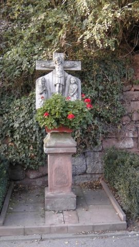
Sankt Jost - Bildstock
Field Names
Unter der Landstraße
Extraction and Processing of Raw Materials
Ehemaliger Steinbruch am Joster Berg
Field Names