Street Names · 20th Century
Gruberweg


© GeoBasis-DE / LVermGeoRP, dl-de/by-2-0
There is no picture of this object yet. Do you have a photo that you would like to make available to the Kulturdatenbank? Submit a picture
Description
This description is only available in German.
Translate with Google opens this page in Google Translate (external service)
Der Weg ist nach einer früher dort befindlichen Sand- oder Kiesgrube benannt. Nach Steinhausen bildet der Weg einen Aufstieg zur alten Römerstraße Trier – Büdlicherbrück – Bingen. [1]
Classification
- Subject area
- History
- Category
- Place Names / Local History
- Object type
- Street Names
- Date
- 1958 [Benennung]
- Period
- 20th Century
Location
- District
- City of Trier
- Collective municipality
- Verbandsfreie Gemeinde Trier
- Town
- Trier
- Locality / location
- Kürenz
- Street
- Gruberweg
- Field name
- In der Grub
- Coordinates
- WGS 84: 49.769647, 6.681690 (Position: exact) WGS 84: 49° 46′ 10.7″ N, 6° 40′ 54.1″ E UTM 32 (ETRS89): E 333069 · N 5515599
Sources
Data sources
- [1] © Amt für Bodenmanagement und Geoinformation Trier. https://geoportal.trier.de/trier/index.php
On the internet
Last edited: 6 Apr 2021 Object ID: 50451
https://kulturdb.de/en/objekt/50451-trier-gruberweg
Nearby
The nearest objects
 260 m
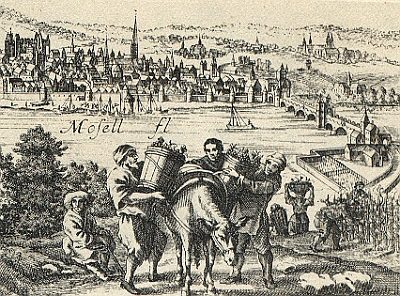
Vineyard Sites
Bischofsholz (Silva Episcopi)
 340 m
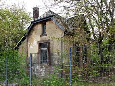
Waterworks
Ehemaliges Wasserwerk
Entrenchments
Ehemalige Schanze Grüneberg
400 m
Vineyard Sites
Rosenberg
Vineyard Sites
Domherrenberg
 420 m
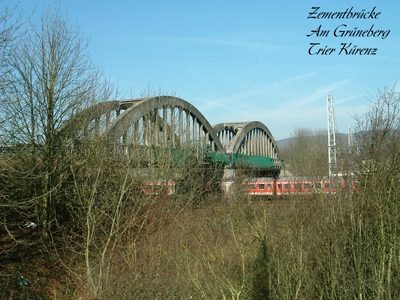
Road Transport
Ehemalige Zementbrücke am Grüneberg
470 m
Vineyard Sites
Brohl
 550 m
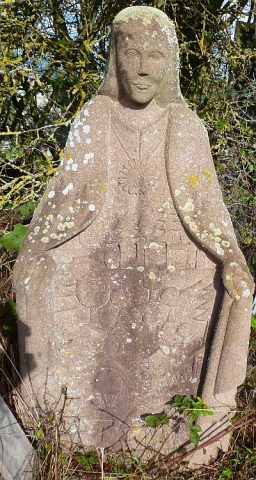
Works of Art