Street Names · Undated
Kolonnenweg


© GeoBasis-DE / LVermGeoRP, dl-de/by-2-0
There is no picture of this object yet. Do you have a photo that you would like to make available to the Kulturdatenbank? Submit a picture
Description
This description is only available in German.
Translate with Google opens this page in Google Translate (external service)
Der Weg führt zum Grüneberg, dem alten Übungsgelände des Militärs. Der Weg wurde vom Volksmund nach den marschierenden Kolonnen benannt. [1]
Classification
- Subject area
- History
- Category
- Place Names / Local History
- Object type
- Street Names
- Date
- Undatiert
- Period
- Undated
Location
- District
- City of Trier
- Collective municipality
- Verbandsfreie Gemeinde Trier
- Town
- Trier
- Locality / location
- Kürenz
- Street
- Kolonnenweg
- Field name
- Der Esel
- Coordinates
- WGS 84: 49.761823, 6.678618 (Position: exact) WGS 84: 49° 45′ 42.6″ N, 6° 40′ 43.0″ E UTM 32 (ETRS89): E 332820 · N 5514736
Sources
Data sources
- [1] © Amt für Bodenmanagement und Geoinformation Trier. https://geoportal.trier.de/trier/index.php
On the internet
Last edited: 6 Apr 2021 Object ID: 50452
https://kulturdb.de/en/objekt/50452-trier-kolonnenweg
Nearby
The nearest objects
Vineyard Sites
Herrenberg
Entrenchments
Ehemalige Schanze
Vineyard Sites
Herrenberg
Entrenchments
Ehemalige Schanze
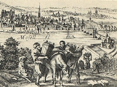 170 m
Vineyard Sites
Im Altenberg
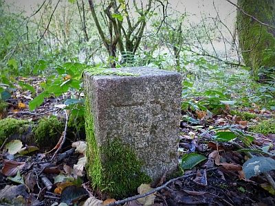 280 m
Surveying
Trigonometrischer Punkt auf dem Allenberg
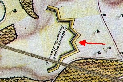 290 m
Entrenchments
Ehemalige Schanze
Entrenchments