Street Names · Undated
Am Hötzberg


© GeoBasis-DE / LVermGeoRP, dl-de/by-2-0
There is no picture of this object yet. Do you have a photo that you would like to make available to the Kulturdatenbank? Submit a picture
Description
This description is only available in German.
Translate with Google opens this page in Google Translate (external service)
Richtiger "Hitzberg". Die Formen "Hitz, Hötz" sind von althochdeutsch "hir(u)z" und mittelhochdeutsch "hirz" abgeleitet und bedeuten Hirsch (Bach, Maret) . Also am Hirschberg. [1]
Classification
- Subject area
- History
- Category
- Place Names / Local History
- Object type
- Street Names
- Date
- Undatiert
- Period
- Undated
Location
- District
- City of Trier
- Collective municipality
- Verbandsfreie Gemeinde Trier
- Town
- Trier
- Locality / location
- Tarforst
- Street
- Am Hötzberg
- Field name
- Im Hötzberg
- Coordinates
- WGS 84: 49.744428, 6.699851 (Position: exact) WGS 84: 49° 44′ 39.9″ N, 6° 41′ 59.5″ E UTM 32 (ETRS89): E 334290 · N 5512755
Sources
Data sources
- [1] © Amt für Bodenmanagement und Geoinformation Trier. https://geoportal.trier.de/trier/index.php
On the internet
Last edited: 6 Apr 2021 Object ID: 50456
https://kulturdb.de/en/objekt/50456-trier-am-hoetzberg
Nearby
The nearest objects
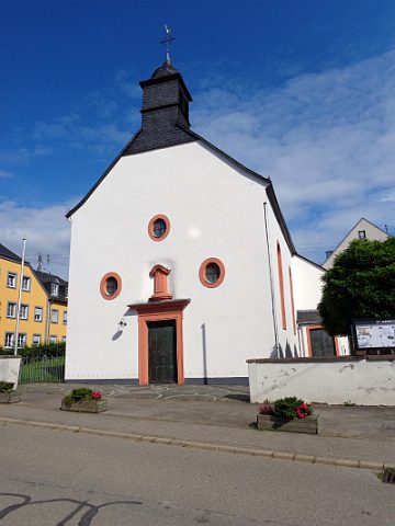 30 m
Catholic Churches
Sankt Andreas
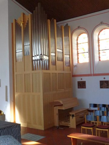 30 m
Organs
Sankt Andreas - Orgel
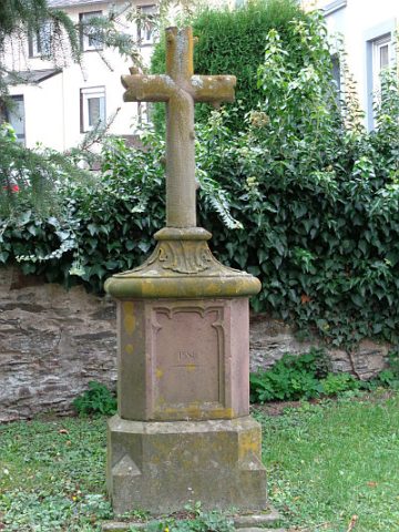 30 m
Wayside Shrines and Stations of the Cross
Sankt Andreas - Kirchhofskreuz
 30 m
Nativity Scenes
Sankt Andreas - Weihnachtskrippe
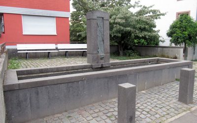 30 m
Works of Art
Andreasbrunnen
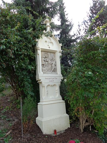 50 m
Wayside Shrines and Stations of the Cross
Kreuzweg am Hötzberg - 1. Station
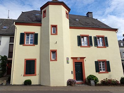 60 m
Farmhouses and Farm Buildings
Ehemaliger Maximiner Zehnt- und Gerichtshof
Vineyard Sites