Fortresses and Bunkers · Undated
Luftschutzraum am Mühlenweg
6.630293 49.766274

Description
This description is only available in German.
Translate with Google opens this page in Google Translate (external service)
Classification
- Subject area
- Architectural and Art Monuments
- Object type
- Fortresses and Bunkers
- Date
- Undatiert
- Period
- Undated
Location
- District
- City of Trier
- Collective municipality
- Verbandsfreie Gemeinde Trier
- Town
- Trier
- Locality / location
- Trier-West/Pallien
- Street
- Bei Mühlenweg 6
- Field name
- Bei der Lochsmühle
- Coordinates
- WGS 84: 49.766274, 6.630293 (Position: exact) WGS 84: 49° 45′ 58.6″ N, 6° 37′ 49.1″ E UTM 32 (ETRS89): E 329356 · N 5515339
Sources
Data sources
- [1] Zenz,Emil: Geschichte der Stadt Trier 1928-1945, Band 3, 1973.
- [2] Jörg Busch, Trier-Biewer, 2021.
On the internet
de.wikipedia.org/wiki/Trier-West/Pallien
Picture credits
- Picture 1: © Jörg Busch, Trier-Biewer, 2021.
Last edited: 10 Apr 2021 Object ID: 50463
https://kulturdb.de/en/objekt/50463-trier-west-pallien-luftschutzraum-am-muehlenweg
Nearby
The nearest objects
 30 m
Fortresses and Bunkers
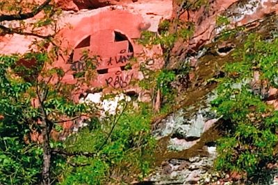
Ehemalige Wehrmachtstellung
 40 m
Fortresses and Bunkers
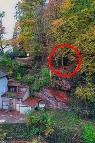
Ehemaliger Luftschutzraum
 50 m
Road Transport
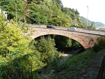
Napoleonsbrücke (1)
 50 m
Street Names
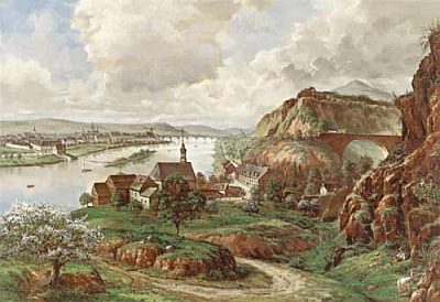
Napoleonsbrücke (2)
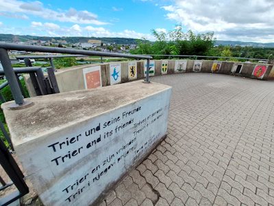 50 m
Works of Art
Die Partnerstädte Triers im Überblick
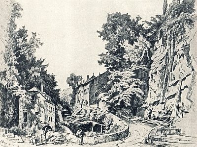 60 m
Mills
Ehemalige Mühle am Eingang ins Busental
No picture
60 m
Town Houses and Commercial Buildings
Haus Mühlenweg 4
No picture
60 m
Mills