Surveying · Undated
Alter Grenzstein

Classification
- Subject area
- Architectural and Art Monuments
- Category
- Markers and Monuments
- Object type
- Surveying
- Date
- Undatiert
- Period
- Undated
Location
- District
- Trier-Saarburg
- Collective municipality
- Trier-Land
- Municipality
- Kordel
- Locality / location
- Kimmlingen
- Field name
- Unter Baforst
- Coordinates
- WGS 84: 49.829576, 6.622707 (Position: exact) WGS 84: 49° 49′ 46.5″ N, 6° 37′ 21.7″ E UTM 32 (ETRS89): E 329033 · N 5522393
Sources
Data sources
- [1] Peter Valerius, Kordel, 2021.
On the internet
Picture credits
- Picture 1: © Peter Valerius, Kordel, 2021.
Last edited: 3 May 2021 Object ID: 50494
https://kulturdb.de/en/objekt/50494-kordel-alter-grenzstein
Nearby
The nearest objects
No picture
70 m
Extraction and Processing of Raw Materials
Ehemaliger Steinbruch
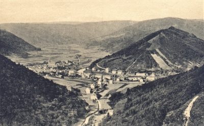 90 m
Viewpoints
Blick in die Kimmlinger Straße
No picture
100 m
Extraction and Processing of Raw Materials
Ehemaliger Steinbruch
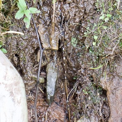 110 m
Springs
Sturzquelle in ehem. Steinbruch südl. Reitzenmühle
No picture
120 m
Extraction and Processing of Raw Materials
Ehemaliger Steinbruch Gottgraben
No picture
130 m
Extraction and Processing of Raw Materials
Ehemaliger Steinbruch
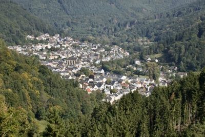 160 m
Viewpoints
Aussichtspunkt Vorderste Held
No picture
210 m
Extraction and Processing of Raw Materials