Town Fortifications · Gothic
Teil einer Wehrgangstreppe
Mittelalterliche Stadtmauer Trier
- Listed monument


Description
This description is only available in German.
Translate with Google opens this page in Google Translate (external service)
Steintafel vor Ort:
TEIL EINER WEHRGANGSTREPPE
AUS DEM MITTELALTER
STADTMAUER UM 1246
DURCHGANG 1030 [1]
Classification
- Subject area
- Archaeological Monuments
- Object type
- Town Fortifications
- Date
- 1246
- Period
- Gothic
Location
- District
- City of Trier
- Collective municipality
- Verbandsfreie Gemeinde Trier
- Town
- Trier
- Locality / location
- Mitte-Gartenfeld
- Street
- Weimarer Allee
- Field name
- Ortslage
- Coordinates
- WGS 84: 49.751037, 6.643116 (Position: exact) WGS 84: 49° 45′ 03.7″ N, 6° 38′ 35.2″ E UTM 32 (ETRS89): E 330226 · N 5513616
Sources
Data sources
- [1] Infotafel vor Ort - Michael Grün, Trier, 2021.
On the internet
Picture credits
Last edited: 15 May 2021 Object ID: 50507
https://kulturdb.de/en/objekt/50507-trier-teil-einer-wehrgangstreppe
Nearby
The nearest objects
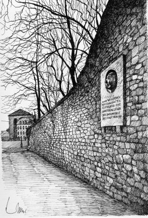 10 m
Monuments
Gedenktafel für Franz Weißebach
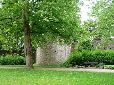 30 m
Town Fortifications
Ehemaliger Turm Uff der Schütten
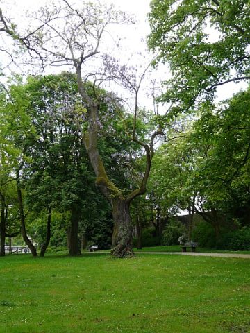 30 m
Foxglove Trees
Ehemalige Paulownie - Blauglockenbaum
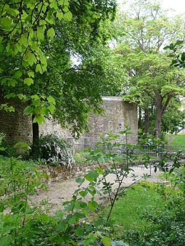 40 m
Town Fortifications
Turm der mittelalterl. Stadtmauer - Nr. 22
 40 m
Historic Townscapes
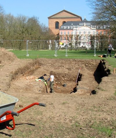
Archäologische Ausgrabungsstätte Palastgarten
 40 m
Recreation and Sports Facilities
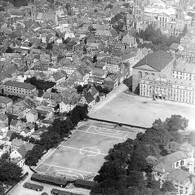
Ehemaliger Palastplatz
 50 m
Baroque Gardens
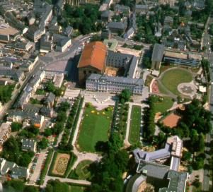
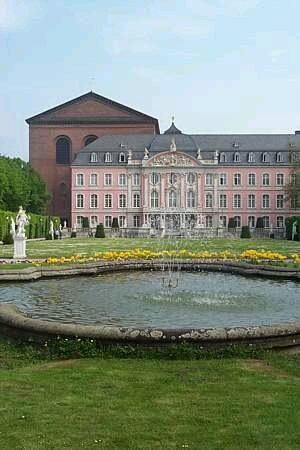
Palastgarten
 90 m
Works of Art