Surveying · Undated
Historischer Grenzstein Euren


Description
This description is only available in German.
Translate with Google opens this page in Google Translate (external service)
Inschrift: G.E. = Gemeinde Euren [1]
Classification
- Subject area
- Architectural and Art Monuments
- Category
- Markers and Monuments
- Object type
- Surveying
- Date
- Undatiert
- Period
- Undated
Location
- District
- City of Trier
- Collective municipality
- Verbandsfreie Gemeinde Trier
- Town
- Trier
- Locality / location
- Euren
- Street
- Vor Eurener Straße 196
- Field name
- Ortslage
- Coordinates
- WGS 84: 49.740433, 6.609133 (Position: exact) WGS 84: 49° 44′ 25.6″ N, 6° 36′ 32.9″ E UTM 32 (ETRS89): E 327741 · N 5512515
Sources
Data sources
- [1] Jörg Busch und Albrecht Classen, Trier 2021.
On the internet
Picture credits
Last edited: 30 May 2021 Object ID: 50530
https://kulturdb.de/en/objekt/50530-trier-historischer-grenzstein-euren
Nearby
The nearest objects
 70 m
Lime Trees
Linde
 70 m
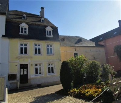
Farmhouses and Farm Buildings
Streckhof
 80 m
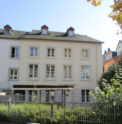
Town Houses and Commercial Buildings
Wohnhaus
 80 m
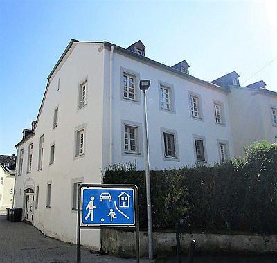
Town Houses and Commercial Buildings
Wohnhaus
 100 m
Farmhouses and Farm Buildings
Quereinhaus
 100 m
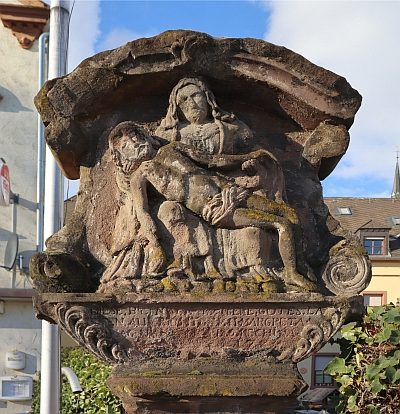
Wayside Shrines and Stations of the Cross
Bildstock aus rotem Sandstein
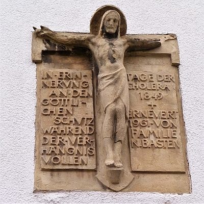 120 m
Wayside Shrines and Stations of the Cross
Cholerakreuz
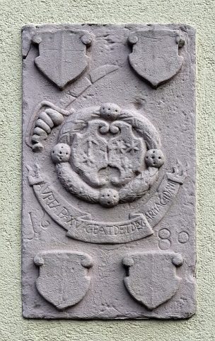 130 m
Coats of Arms