Mills · Historicism / Art Nouveau
Ehemalige Mühle


© GeoBasis-DE / LVermGeoRP, dl-de/by-2-0
There is no picture of this object yet. Do you have a photo that you would like to make available to the Kulturdatenbank? Submit a picture
Classification
- Subject area
- Architectural and Art Monuments
- Object type
- Mills
- Date
- 1898
Location
- District
- Trier-Saarburg
- Collective municipality
- Hermeskeil
- Municipality
- Züsch
- Street
- Fraubachtalstraße
- Field name
- Im unteren Haag
- Coordinates
- WGS 84: 49.650566, 7.009011 (Position: exact) WGS 84: 49° 39′ 02.0″ N, 7° 00′ 32.4″ E UTM 32 (ETRS89): E 356285 · N 5501684
Sources
Data sources
- [1] Grebe, Heinrich; Leppla, August, 1898: "Geologische Spezialkarte von Preussen und den Thüringischen Staaten" und Nachfolgewerke; [Neue Nr. 6308]; Buhlenberg [Birkenfeld West]; Gradabteilung 80, Blatt 23. Kraatz, Berlin, DOI 10.23689/fidgeo-2129.
On the internet
Last edited: 4 Jun 2021 Object ID: 50552
https://kulturdb.de/en/objekt/50552-zuesch-ehemalige-muehle
Nearby
The nearest objects
No picture
100 m
Mills
Ehemalige Mühle am Dombach
No picture
110 m
Field Names
Im Bungert
No picture
160 m
Castles
Verschwundene Burg
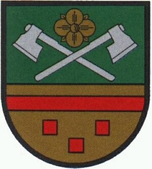 220 m
Coats of Arms
Wappen der Gemeinde Züsch
No picture
220 m
Place Names / Local History
Geschichte
No picture
220 m
Rectories
Evangelisches Pfarrhaus
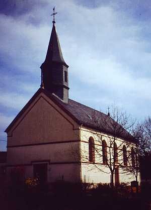 220 m
Protestant Churches
Evangelische Pfarrkirche
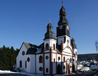 330 m
Catholic Churches