Wayside Shrines and Stations of the Cross · Undated
Wegekreuz am Sportplatz


© GeoBasis-DE / LVermGeoRP, dl-de/by-2-0
There is no picture of this object yet. Do you have a photo that you would like to make available to the Kulturdatenbank? Submit a picture
Classification
- Subject area
- Architectural and Art Monuments
- Category
- Religious Buildings
- Object type
- Wayside Shrines and Stations of the Cross
- Date
- Undatiert
- Period
- Undated
Location
- District
- Trier-Saarburg
- Collective municipality
- Hermeskeil
- Municipality
- Bescheid
- Field name
- Im Eselsbüsch
- Coordinates
- WGS 84: 49.742734, 6.880391 (Position: exact) WGS 84: 49° 44′ 33.8″ N, 6° 52′ 49.4″ E UTM 32 (ETRS89): E 347290 · N 5512183
Sources
Data sources
- [1] Landschaft im Wandel Rheinland Pfalz [https://geo4.service24.rlp.de/client/lf/lawa/#zoom=16&lat=49.742734…], abgerufen am 11.06.2021.
- [2] OpenStreetMap [openstreetmap.org]
On the internet
Last edited: 11 Jun 2021 Object ID: 50585
https://kulturdb.de/en/objekt/50585-bescheid-wegekreuz-am-sportplatz
Nearby
The nearest objects
 220 m
Viewpoints
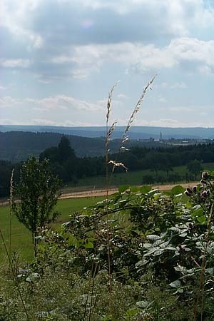
Aussichtspunkt am Sportplatz
 260 m
Rocks
Eselsborn (Felsen mit Quelle)
No picture
320 m
Burial Mounds
Hügelgrab Bei den Hübeln
No picture
380 m
Wayside Shrines and Stations of the Cross
Sogenanntes Fengbirken-Kreuz
No picture
420 m
Burial Mounds
Hügelgrab Bei den Hübeln
No picture
500 m
Wayside Shrines and Stations of the Cross
4 Sogenannte Gemarkungskreuze - 4. Kreuz
No picture
550 m
Field Names
Heidflur die Krummen
No picture
590 m
Field Names