Extraction and Processing of Raw Materials · Historicism / Art Nouveau
Ehemalige Tongrube


© GeoBasis-DE / LVermGeoRP, dl-de/by-2-0
There is no picture of this object yet. Do you have a photo that you would like to make available to the Kulturdatenbank? Submit a picture
Classification
- Subject area
- Architectural and Art Monuments
- Category
- Economy, Trade and Transport
- Object type
- Extraction and Processing of Raw Materials
- Date
- 1891
Location
- District
- Bernkastel-Wittlich
- Collective municipality
- Wittlich-Land
- Municipality
- Bergweiler
- Field name
- Auf Forsttrüsch
- Coordinates
- WGS 84: 49.974086, 6.799368 (Position: exact) WGS 84: 49° 58′ 26.7″ N, 6° 47′ 57.7″ E UTM 32 (ETRS89): E 342209 · N 5538070
Sources
Data sources
- [1] Grebe, Heinrich, 1891: "Geologische Spezialkarte von Preussen und den Thüringischen Staaten" und Nachfolgewerke; [Neue Nr. 6006]; Landscheid; Grad-Abtheilung 80, Blatt 3. Kraatz, Berlin, DOI 10.23689/fidgeo-3144.
On the internet
Last edited: 18 Jun 2021 Object ID: 50594
https://kulturdb.de/en/objekt/50594-bergweiler-ehemalige-tongrube
Nearby
The nearest objects
No picture
330 m
Burial Mounds
Streuung spätrömischer Keramik
No picture
510 m
Commemorative Plantings
Napoleons Wäldchen
 830 m
Settlements
Römische Siedlungsstelle
No picture
950 m
Find Sites
Fundstreuung römischer Keramikscherben
No picture
960 m
Field Names
Rothheck
 1.2 km
Wayside Shrines and Stations of the Cross
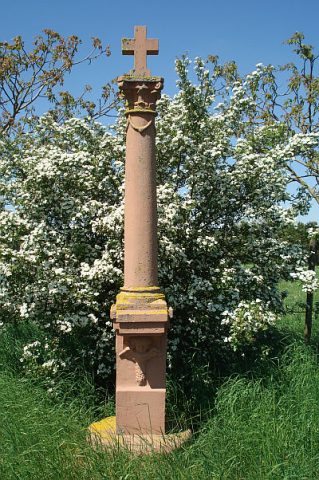
Wegekreuz an der Straße nach Bruch
No picture
1.3 km
Wayside Shrines and Stations of the Cross
Wegekreuz an der Straße nach Bergweiler
No picture
1.4 km
Wayside Shrines and Stations of the Cross