Fossils · Historicism / Art Nouveau
Fundstellen tierischer Versteinerungen


© GeoBasis-DE / LVermGeoRP, dl-de/by-2-0
There is no picture of this object yet. Do you have a photo that you would like to make available to the Kulturdatenbank? Submit a picture
Classification
- Subject area
- Natural Features
- Category
- Geological Features
- Object type
- Fossils
- Date
- 1891
Location
- District
- Bernkastel-Wittlich
- Collective municipality
- Wittlich-Land
- Municipality
- Bruch
- Field name
- Priesterberg Jungenwald
- Coordinates
- WGS 84: 49.976471, 6.780531 (Position: exact) WGS 84: 49° 58′ 35.3″ N, 6° 46′ 49.9″ E UTM 32 (ETRS89): E 340866 · N 5538375
Sources
Data sources
- [1] Grebe, Heinrich, 1891: "Geologische Spezialkarte von Preussen und den Thüringischen Staaten" und Nachfolgewerke; [Neue Nr. 6006]; Landscheid; Grad-Abtheilung 80, Blatt 3. Kraatz, Berlin, DOI 10.23689/fidgeo-3144.
On the internet
Last edited: 14 Jul 2021 Object ID: 51035
https://kulturdb.de/en/objekt/51035-bruch-fundstellen-tierischer-versteinerungen
Nearby
The nearest objects
No picture
300 m
Field Names
Auf Hühnerknapp
No picture
320 m
Field Names
Sauerwies
No picture
400 m
Fossils
Fundstellen tierischer Versteinerungen
No picture
500 m
Wayside Shrines and Stations of the Cross
Wegekreuz
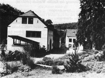 500 m
Mills
Landscheider Mühle im Salmtal
No picture
510 m
Viewpoints
Aussichtspunkt
 580 m
Settlements
Römische Siedlungsstelle
No picture
680 m
Settlements