Peat Cuttings · Historicism / Art Nouveau
Ehemaliger Torfstich Siebenborn


© GeoBasis-DE / LVermGeoRP, dl-de/by-2-0
There is no picture of this object yet. Do you have a photo that you would like to make available to the Kulturdatenbank? Submit a picture
Classification
- Subject area
- Natural Features
- Category
- Bogs and Mires
- Object type
- Peat Cuttings
- Date
- 1887
Location
- District
- Trier-Saarburg
- Collective municipality
- Saarburg-Kell
- Municipality
- Mandern
- Locality / location
- Siebenborn-Hütten
- Field name
- Maximinerwald
- Coordinates
- WGS 84: 49.587846, 6.774435 (Position: exact) WGS 84: 49° 35′ 16.2″ N, 6° 46′ 28.0″ E UTM 32 (ETRS89): E 339147 · N 5495186
Sources
Data sources
- [1] Grebe, Heinrich, 1887: "Geologische Spezialkarte von Preussen und den Thüringischen Staaten" und Nachfolgewerke; [Neue Nr.6406];Losheim;Gradabteilung 80,Blatt 27. Kraatz, Berlin, DOI 10.23689/fidgeo-3833.
On the internet
Last edited: 27 Jul 2021 Object ID: 51127
https://kulturdb.de/en/objekt/51127-mandern-ehemaliger-torfstich-siebenborn
Nearby
The nearest objects
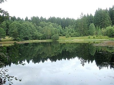 120 m
Field Names
Siebenborn
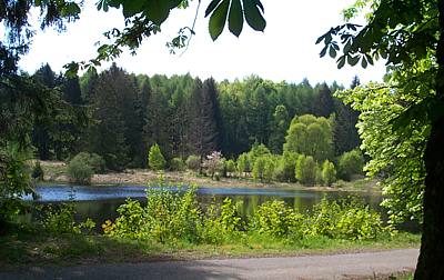 140 m
Deserted Settlements
Siedlung Siebenborn-Hütten
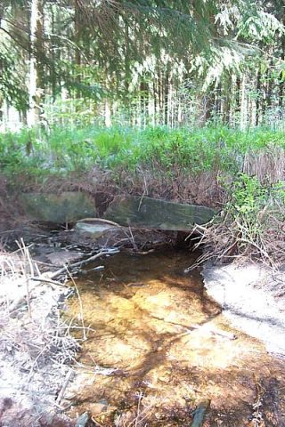 380 m
Road Transport
Steinbrücke beim Siebenbornweiher
No picture
690 m
Deserted Settlements
Ehemalige Schwarzwald Hütten
No picture
950 m
Field Names
Winkelhuf
No picture
1.0 km
Fossils
Fundstellen tierischer Versteinerungen
 1.1 km
Charcoal Kilns
Ehemaliger Meilerplatz
No picture
1.2 km
Deserted Settlements