Field Names · Undated
Am Grendericher Berg


Classification
- Subject area
- History
- Category
- Field Names
- Date
- Undatiert
- Period
- Undated
Location
- District
- Trier-Saarburg
- Collective municipality
- Hermeskeil
- Municipality
- Gusenburg
- Field name
- Am Grendericher Berg
- Coordinates
- WGS 84: 49.627098, 6.901705 (Position: exact) WGS 84: 49° 37′ 37.6″ N, 6° 54′ 06.1″ E UTM 32 (ETRS89): E 348467 · N 5499285
Sources
Data sources
- [1] Michael Grün, Trier, 2021.
On the internet
Picture credits
Last edited: 12 Sep 2022 Object ID: 51148
https://kulturdb.de/en/objekt/51148-gusenburg-am-grendericher-berg
Nearby
The nearest objects
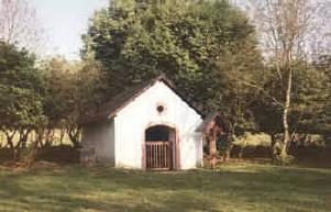 200 m
Hermitages
Grenderich-Kapelle - Klause
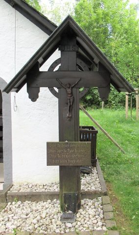 200 m
Wayside Shrines and Stations of the Cross
Grendericher Kreuz
250 m
Deserted Settlements
Wüstung Grenderich
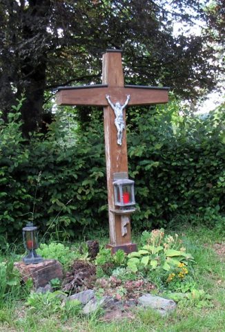 320 m
Wayside Shrines and Stations of the Cross
Dankeskreuz Beim Kreuzbaum
No picture
340 m
Field Names
Ziehrech
No picture
390 m
Field Names
Kirchenwald
No picture
460 m
Field Names
Der Kirchenwald ober Krenderich
No picture
520 m
Street Names