Fords · Historicism / Art Nouveau
Ehemalige Furt durch die Salm


© GeoBasis-DE / LVermGeoRP, dl-de/by-2-0
There is no picture of this object yet. Do you have a photo that you would like to make available to the Kulturdatenbank? Submit a picture
Classification
- Subject area
- Architectural and Art Monuments
- Category
- Economy, Trade and Transport
- Object type
- Fords
- Date
- 1900
Location
- District
- Bernkastel-Wittlich
- Collective municipality
- Wittlich-Land
- Municipality
- Esch (Bernkastel-Wittlich)
- Locality / location
- Esch
- Field name
- [Salm]
- Coordinates
- WGS 84: 49.892072, 6.846551 (Position: exact) WGS 84: 49° 53′ 31.5″ N, 6° 50′ 47.6″ E UTM 32 (ETRS89): E 345330 · N 5528854
Sources
Data sources
- [1] Leppla, August, 1900: "Geologische Spezialkarte von Preussen und den Thüringischen Staaten" und Nachfolgewerke; [Neue Nr.6007]; Wittlich; Gradabteilung 80, Blatt 4. Kraatz, Berlin, DOI 10.23689/fidgeo-3858.
On the internet
vg-wittlich-land.de/vg_wittlich_land/%C3%9Cber%20uns/Ortsgemeinden/Esch
Last edited: 8 Aug 2021 Object ID: 51168
https://kulturdb.de/en/objekt/51168-esch-bernkastel-wittlich-ehemalige-furt-durch-die-salm
Nearby
The nearest objects
No picture
120 m
Field Names
Im Gerstendriesch nach Esch
No picture
230 m
Field Names
Mühlenrech
No picture
240 m
Field Names
Auf Klausendriesch
No picture
250 m
Field Names
Im Mühlenrechsrechs Garten
No picture
380 m
Field Names
Aufm hintersten Bungert
No picture
380 m
Field Names
Im Gerstendriesch
 520 m
Coats of Arms
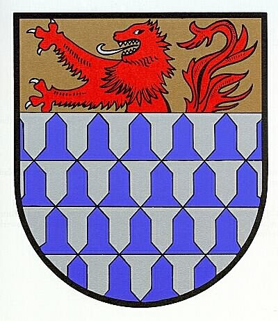
Wappen der Gemeinde Esch
 580 m
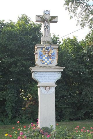
Wayside Shrines and Stations of the Cross