Surveying · Undated
Grenzstein Forstbezirk 106


Description
This description is only available in German.
Translate with Google opens this page in Google Translate (external service)
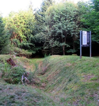
Forstbezirks-Grenzstein (106) im Osburger Wald (Staatsforst Hochwald) gelegen. [1]
Classification
- Subject area
- Architectural and Art Monuments
- Category
- Markers and Monuments
- Object type
- Surveying
- Date
- Undatiert
- Period
- Undated
Location
- District
- Trier-Saarburg
- Collective municipality
- Hermeskeil
- Municipality
- Beuren (Hochwald)
- Locality / location
- Beuren
- Field name
- Hochwald
- Coordinates
- WGS 84: 49.698424, 6.867708 (Position: exact) WGS 84: 49° 41′ 54.3″ N, 6° 52′ 03.7″ E UTM 32 (ETRS89): E 346237 · N 5507284
Sources
Data sources
- [1] Landschaft im Wandel RLP (https://geo4.service24.rlp.de/client/lf/lawa/#zoom=15&lat=49.69846&…), abgerufen am 17.08.2021
On the internet
Picture credits
Last edited: 17 Aug 2021 Object ID: 51199
https://kulturdb.de/en/objekt/51199-beuren-hochwald-grenzstein-forstbezirk-106
Nearby
The nearest objects
 490 m
Hollies
Stechpalmenbestand
No picture
650 m
Field Names
Grünebrücher
No picture
710 m
Surveying
Trigonometrisches Signal Hohe Wurzel
 730 m
Exhibitions, Cultural Centres and Memorial Sites
Geplante Massenliquidierungsgruben
No picture
790 m
Fortresses and Bunkers
Westwall - Bunker
No picture
820 m
Fortresses and Bunkers
Westwall - Maschinengewehr-Schartenstand
No picture
890 m
Fortresses and Bunkers
Westwall - Bunker
No picture
930 m
Fortresses and Bunkers