Viewpoints · Neoclassicism
Aussichtspunkt Belle Vue


© GeoBasis-DE / LVermGeoRP, dl-de/by-2-0
There is no picture of this object yet. Do you have a photo that you would like to make available to the Kulturdatenbank? Submit a picture
Classification
- Subject area
- Architectural and Art Monuments
- Category
- Viewpoints
- Date
- Um 1830
- Period
- Neoclassicism
Location
- District
- City of Trier
- Collective municipality
- Verbandsfreie Gemeinde Trier
- Town
- Trier
- Locality / location
- Kürenz
- Street
- Oberhalb Kobusweg
- Field name
- Am Schellenberg am Wolfsgraben
- Coordinates
- WGS 84: 49.762686, 6.686247 (Position: exact) WGS 84: 49° 45′ 45.7″ N, 6° 41′ 10.5″ E UTM 32 (ETRS89): E 333373 · N 5514815
Sources
Data sources
- [1] Trier, Stadtplan (-grundriß) mit Paulin, Maximin, Matthias, Pallien, etc. o.D. (ca. 1830), gezeichnet von A. Berthold. Landeshauptarchiv Koblenz, Bestand 700,030 Nummer 421 Unternummer 100.
On the internet
Last edited: 27 Aug 2021 Object ID: 51213
https://kulturdb.de/en/objekt/51213-trier-aussichtspunkt-belle-vue
Nearby
The nearest objects
No picture
120 m
Field Names
Am Schellenberg am Wolfsgraben
No picture
180 m
Field Names
Im Wolfsgraben
No picture
310 m
Field Names
Im Vogelsang
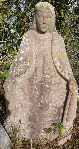 330 m
Works of Art
Schutzmantelmadonna am Allenberg
No picture
340 m
Entrenchments
Ehemalige Schanze Grüneberg
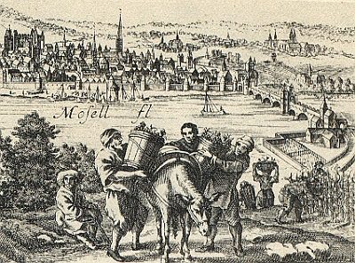 360 m
Vineyard Sites
Avel
No picture
400 m
Barracks
Ehemaliger Exerzierplatz
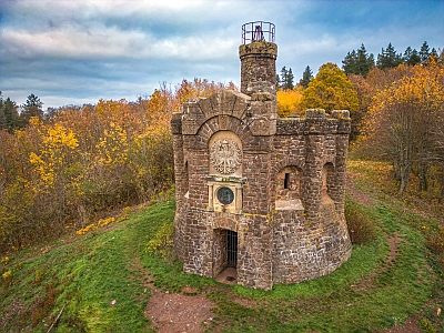 440 m
Observation Towers