Forest Names · Undated
Im Friedbüsch


© GeoBasis-DE / LVermGeoRP, dl-de/by-2-0
There is no picture of this object yet. Do you have a photo that you would like to make available to the Kulturdatenbank? Submit a picture
Description
This description is only available in German.
Translate with Google opens this page in Google Translate (external service)
Fried als Beiwort zu Friedwald, Friedbüsch – Bedeutung: Zaun aus Pfählen, mit Reisig durchflochten; Hecke, Zaun. Zu mittelhochdeutsch vride - 'Einfriedung'. [1]
Classification
- Subject area
- History
- Category
- Field Names
- Object type
- Forest Names
- Date
- Undatiert
- Period
- Undated
Location
- District
- Trier-Saarburg
- Collective municipality
- Trier-Land
- Municipality
- Zemmer
- Locality / location
- Rodt
- Street
- Keltenstraße
- Field name
- Im Friedbüsch
- Coordinates
- WGS 84: 49.872246, 6.675060 (Position: exact) WGS 84: 49° 52′ 20.1″ N, 6° 40′ 30.2″ E UTM 32 (ETRS89): E 332945 · N 5527019
Sources
Data sources
- [1] Dittmaier, Heinrich: Rheinische Flurnamen. Ludwig Röhrscheid Verlag, Bonn, 1963.
On the internet
Last edited: 14 Sep 2021 Object ID: 51245
https://kulturdb.de/en/objekt/51245-zemmer-im-friedbuesch
Nearby
The nearest objects
Burial Mounds
Grabhügel
 230 m
Observation Towers
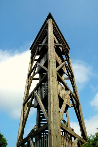
Aussichtsturm am Sportplatz
Cremation Graves
Ausgedehntes römisches Brandgräberfeld
Settlements
Römische Siedlung
Forest Names
Im Friedbüsch
Burial Mounds
Grabhügel
Field Names
Krumme Anwand hinterm Busch
Extraction and Processing of Raw Materials