Roman Tombs · Celtic / Roman Period
Ausschnitt Reliefblock Grabmal


Description
This description is only available in German.
Translate with Google opens this page in Google Translate (external service)
Classification
- Subject area
- Archaeological Monuments
- Category
- Burials
- Object type
- Roman Tombs
- Date
- Circa 500 vor Chr. bis circa 500 nach Chr.
- Period
- Celtic / Roman Period
Location
- District
- Trier-Saarburg
- Collective municipality
- Schweich an der römischen Weinstraße
- Municipality
- Mehring
- Field name
- Auf der obersten Lay
- Coordinates
- WGS 84: 49.791520, 6.821681 (Position: exact) WGS 84: 49° 47′ 29.5″ N, 6° 49′ 18.1″ E UTM 32 (ETRS89): E 343218 · N 5517728
Sources
Data sources
- [1] Infotafel vor Ort.
- [2] Michael Grün, Trier, 2021.
On the internet
Picture credits
Last edited: 9 Nov 2021 Object ID: 51267
https://kulturdb.de/en/objekt/51267-mehring-ausschnitt-reliefblock-grabmal
Nearby
The nearest objects
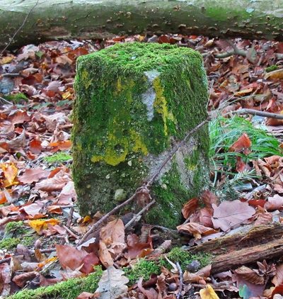 210 m
Surveying
Grenzstein
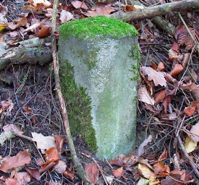 230 m
Surveying
Grenzstein
No picture
250 m
Field Names
Im Kappesgarten
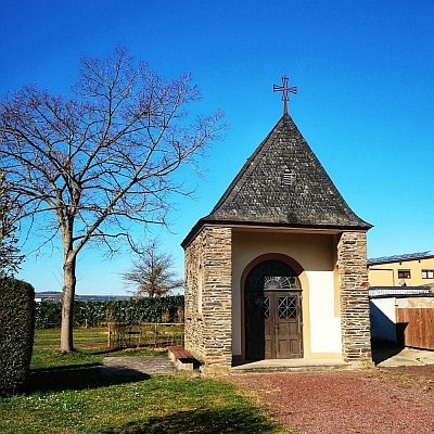 320 m
Chapels
Medarduskapelle im Zellerhof
No picture
390 m
Field Names
Aufm Bungert beim Hof
No picture
400 m
Settlements
Ehemalige Hofstätte Zellerhof
No picture
520 m
Field Names
Aufm Bungert
No picture
520 m
Burial Mounds