Chapels · Historicism / Art Nouveau
Ehemalige Donatuskapelle


© GeoBasis-DE / LVermGeoRP, dl-de/by-2-0
There is no picture of this object yet. Do you have a photo that you would like to make available to the Kulturdatenbank? Submit a picture
Description
This description is only available in German.
Translate with Google opens this page in Google Translate (external service)
Die Kapelle wurde im 2. Weltkrieg zerstört und 1950 durch einen Neubau auf der anderen Straßenseite ersetzt. [Red.].
Classification
- Subject area
- Architectural and Art Monuments
- Category
- Religious Buildings
- Object type
- Chapels
- Date
- 1895
Location
- District
- Eifelkreis Bitburg-Prüm
- Collective municipality
- Südeifel
- Municipality
- Fischbach-Oberraden
- Locality / location
- Oberraden
- Street
- Kapellenweg
- Field name
- Ortslage
- Coordinates
- WGS 84: 50.000080, 6.336455 (Position: exact) WGS 84: 50° 00′ 00.3″ N, 6° 20′ 11.2″ E UTM 32 (ETRS89): E 309124 · N 5542039
Sources
Data sources
- [1] Topographische Karte 1:25000 von 1895 https://geo4.service24.rlp.de/client/lf/lawa/
On the internet
Last edited: 18 Sep 2021 Object ID: 51280
https://kulturdb.de/en/objekt/51280-fischbach-oberraden-ehemalige-donatuskapelle
Nearby
The nearest objects
Chapels
Donatuskapelle
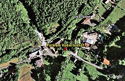 40 m
Estate and Country House Gardens
Park am Hubertushof
Farmhouses and Farm Buildings
Hauseingang
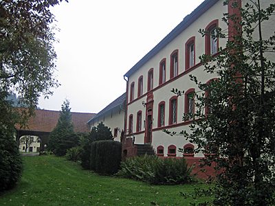 70 m
Farmhouses and Farm Buildings
Sogenannter Hubertushof
Mills
Ehemalige Mühle
Wayside Shrines and Stations of the Cross
Sockelkreuz aus Schiefer
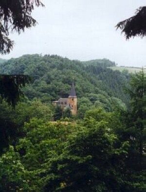 130 m
Place Names / Local History
Erste Erwähnung als Overaden
Field Names