Extraction and Processing of Raw Materials · Historicism / Art Nouveau
Ehemaliger Steinbruch


© GeoBasis-DE / LVermGeoRP, dl-de/by-2-0
There is no picture of this object yet. Do you have a photo that you would like to make available to the Kulturdatenbank? Submit a picture
Classification
- Subject area
- Architectural and Art Monuments
- Category
- Economy, Trade and Transport
- Object type
- Extraction and Processing of Raw Materials
- Date
- 1910
Location
- District
- Eifelkreis Bitburg-Prüm
- Collective municipality
- Bitburger Land
- Municipality
- Fließem
- Field name
- Unterst Gemeindewald
- Coordinates
- WGS 84: 50.021382, 6.573998 (Position: exact) WGS 84: 50° 01′ 17.0″ N, 6° 34′ 26.4″ E UTM 32 (ETRS89): E 326222 · N 5543828
Sources
Data sources
- [1] Topographische Karte 1:25000 von 1910 https://geo4.service24.rlp.de/client/lf/lawa/
On the internet
Last edited: 21 Sep 2021 Object ID: 51299
https://kulturdb.de/en/objekt/51299-fliessem-ehemaliger-steinbruch
Nearby
The nearest objects
Extraction and Processing of Raw Materials
Ehemaliger Steinbruch
Extraction and Processing of Raw Materials
Ehemaliger Steinbruch
Extraction and Processing of Raw Materials
Ehemaliger Steinbruch
Extraction and Processing of Raw Materials
Ehemaliger Steinbruch
Extraction and Processing of Raw Materials
Ehemaliger Steinbruch
Mills
Untere Fließemermühle im Kylltal
 170 m
Road Transport
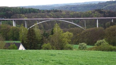
A 60 Kylltalbrücke
Extraction and Processing of Raw Materials