Surveying · Undated
Topologischer Festpunkt am Falkensteinerhof


Description
This description is only available in German.
Translate with Google opens this page in Google Translate (external service)
Topologischer Vermessungsfestpunkt am Wegesrand auf ca. 215m über NHN beim Falkensteinerhof. [1]
Classification
- Subject area
- Architectural and Art Monuments
- Category
- Markers and Monuments
- Object type
- Surveying
- Date
- Undatiert
- Period
- Undated
Location
- District
- Trier-Saarburg
- Town
- Konz
- Locality / location
- Niedermennig
- Street
- Falkensteinerhof 1
- Field name
- Großwald
- Coordinates
- WGS 84: 49.694168, 6.612075 (Position: exact) WGS 84: 49° 41′ 39.0″ N, 6° 36′ 43.5″ E UTM 32 (ETRS89): E 327789 · N 5507365
Sources
Data sources
- [1] Michael Grün, Trier, 2021.
On the internet
Picture credits
Last edited: 8 Nov 2021 Object ID: 51362
https://kulturdb.de/en/objekt/51362-konz-topologischer-festpunkt-am-falkensteinerhof
Nearby
The nearest objects
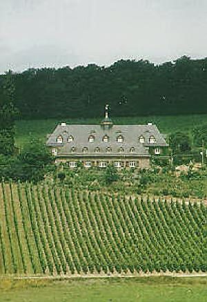 30 m
Town Houses and Commercial Buildings
Weingut Falkensteinerhof
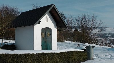 90 m
Chapels
Kapelle am Weingut Falkensteinerhof
No picture
90 m
Fortresses and Bunkers
Westwall - Sanitätsstand
No picture
100 m
Fortresses and Bunkers
Westwall - Maschinengewehr-Schartenstand
No picture
230 m
Vineyard Sites
De Nysberg
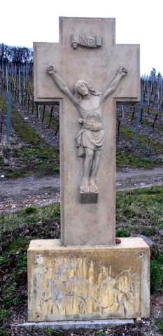 340 m
Wayside Shrines and Stations of the Cross
Wegekreuz
No picture
450 m
Field Names
Auf Gayltriesch
No picture
510 m
Settlements