Street Names · 20th Century
Ehemalige Adolf-Hitler-Straße
Heute: Theodor-Heuss-Allee / Bahnhofstraße


Description
This description is only available in German.
Translate with Google opens this page in Google Translate (external service)
Während der Zeit des Nationalsozialismus wurde der westliche Teil der Straße sowie die Bahnhofstraße, heute Theodor-Heuss-Allee und Bahnhofstraße in Adolf-Hitler-Straße umbenannt. Im Zuge der Entnazifizierung erhielt die Straße ihren alten Namen wieder. [1] [2]
Bildquelle 2 und 3 (Ausschnitt):
Von "Illustrations are from Department of Defense files, with the exception of photographs on pages 199 and 229 which are reproduced by courtesy of the National Archives." [1] - THE U.S. ARMY IN THE OCCUPATION OF GERMANY, 1944–1946, Gemeinfrei, https://commons.wikimedia.org/w/index.php?curid=2851489]
Classification
- Subject area
- History
- Category
- Place Names / Local History
- Object type
- Street Names
- Date
- 1938
- Period
- 20th Century
Location
- District
- City of Trier
- Collective municipality
- Verbandsfreie Gemeinde Trier
- Town
- Trier
- Locality / location
- Trier-Nord
- Street
- Theodor-Heuss-Allee
- Field name
- Ortslage
- Coordinates
- WGS 84: 49.758794, 6.647488 (Position: exact) WGS 84: 49° 45′ 31.7″ N, 6° 38′ 51.0″ E UTM 32 (ETRS89): E 330568 · N 5514469
Sources
Data sources
- [1] Seite „Nordallee (Trier)“. In: Wikipedia – Die freie Enzyklopädie. Bearbeitungsstand: 29. August 2021, 09:34 UTC. URL: https://de.wikipedia.org/w/index.php?title=Nordallee_(Trier)&oldid=… (Abgerufen: 27. November 2021, 09:18 UTC)
- [2] Zusammenstellung: Jörg Busch, Trier-Biewer, 2021.
On the internet
de.wikipedia.org/wiki/Trier-Nord
Picture credits
- Picture 1: Plan der Stadt Trier 1:5000. Angefertigt vom Stadtvermessungsamt im Jahre 1938, (Ausschnitt). Sammlung Jörg Busch, Trier-Biewer, 2021.
- Picture 2: THE U.S. ARMY IN THE OCCUPATION OF GERMANY, 1944–1946, Gemeinfrei, https://commons.wikimedia.org/w/index.php?curid=2851489
- Picture 3: THE U.S. ARMY IN THE OCCUPATION OF GERMANY, 1944–1946, Gemeinfrei, https://commons.wikimedia.org/w/index.php?curid=2851489
Last edited: 23 Nov 2021 Object ID: 51446
https://kulturdb.de/en/objekt/51446-trier-nord-ehemalige-adolf-hitler-strasse
Nearby
The nearest objects
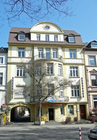 20 m
Town Houses and Commercial Buildings
Wohn- und Geschäftshaus
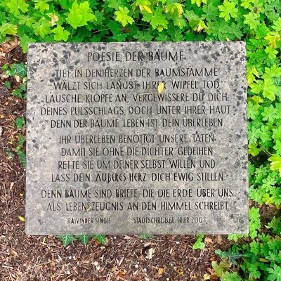 20 m
Inscriptions
Inschrifttafel Poesie der Bäume
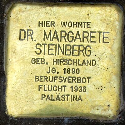 30 m
Stolpersteine (Stumbling Stones)
Stolperstein für Dr. Margarete Steinberg
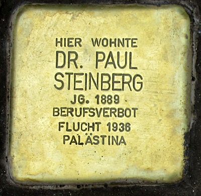 30 m
Stolpersteine (Stumbling Stones)
Stolperstein für Dr. Paul Steinberg
 30 m
Stolpersteine (Stumbling Stones)
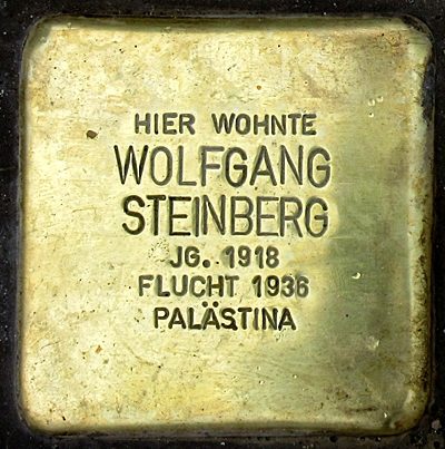
Stolperstein für Wolfgang Steinberg
 30 m
Stolpersteine (Stumbling Stones)
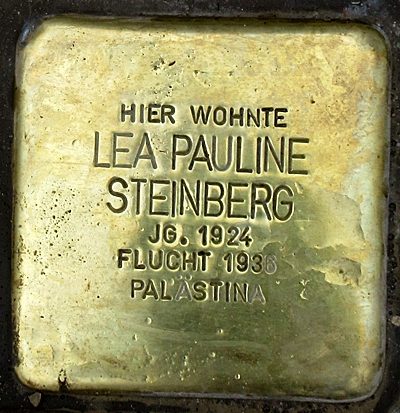
Stolperstein für Lea Pauline Steinberg
 30 m
Honey Locusts
Christusdorn
 40 m
Economy, Trade and Transport