Street Names · 20th Century
Ehemalige Adolf-Hitler-Straße
Heute: Steinbrückstraße

Description
This description is only available in German.
Translate with Google opens this page in Google Translate (external service)
Classification
- Subject area
- History
- Category
- Place Names / Local History
- Object type
- Street Names
- Date
- 1938
- Period
- 20th Century
Location
- District
- City of Trier
- Collective municipality
- Verbandsfreie Gemeinde Trier
- Town
- Trier
- Locality / location
- Pfalzel
- Street
- Steinbrückstraße
- Field name
- Ortslage
- Coordinates
- WGS 84: 49.781915, 6.690314 (Position: exact) WGS 84: 49° 46′ 54.9″ N, 6° 41′ 25.1″ E UTM 32 (ETRS89): E 333731 · N 5516943
Sources
Data sources
- [1] Seite "Adolf Hitler". In: Wikipedia – Die freie Enzyklopädie. Bearbeitungsstand: 25. November 2021, 00:38 UTC. URL: https://de.wikipedia.org/w/index.php?title=Adolf_Hitler&oldid=21757… (Abgerufen: 27. November 2021, 10:00 UTC)
- [2] Zusammenstellung: Jörg Busch, Trier-Biewer, 2021.
On the internet
Picture credits
- Picture 1: Plan der Stadt Trier 1:5000. Angefertigt vom Stadtvermessungsamt im Jahre 1938, (Ausschnitt). Sammlung Jörg Busch, Trier-Biewer, 2021.
Last edited: 23 Nov 2021 Object ID: 51447
https://kulturdb.de/en/objekt/51447-trier-ehemalige-adolf-hitler-strasse
Nearby
The nearest objects
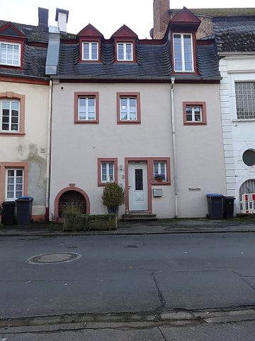 180 m
Town Houses and Commercial Buildings
Quereinhaus
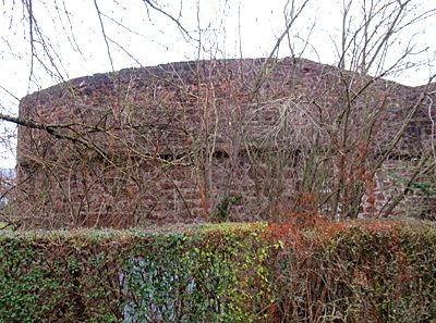 190 m
Town Fortifications
Bastion 6
No picture
200 m
Town Houses and Commercial Buildings
Wohnhaus
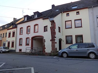 200 m
Town Fortifications
Ehemaliges Stadttor
200 m
Town Houses and Commercial Buildings
Wohnhaus
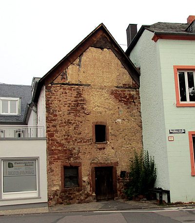 210 m
Extraction and Processing of Raw Materials
Ehemalige Schmiede
No picture
210 m
Street Names
Ehemalige Schweinsgasse
No picture
220 m
Street Names