Inscriptions · Baroque / Rococo
Schlußstein von 1769


Description
This description is only available in German.
Translate with Google opens this page in Google Translate (external service)
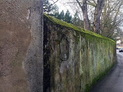
Den restlichen Zwickel zwischen Stadtmauer und Mosel, Martins- und Katharinentor nahm der ehemalige Deutschherrengarten ein. Er besaß eine eigene Ummauerung, die ihn nicht nur zur Mosel und zum Martinskloster, sondern auch zum Stadtgraben - dem hier sogenannten Schießgraben - hin begrenzte. Zugänglich war er auf der Nordseite durch ein überdachtes Rundtor, dessen Schlußstein die Jahreszahl 1769 trug.
Inschrift:
ANNO
1769 [1]
Classification
- Subject area
- Architectural and Art Monuments
- Category
- Markers and Monuments
- Object type
- Inscriptions
- Date
- 1769
- Period
- Baroque / Rococo
Location
- District
- City of Trier
- Collective municipality
- Verbandsfreie Gemeinde Trier
- Town
- Trier
- Locality / location
- Mitte-Gartenfeld
- Street
- Ausoniusstraße ohne Nr.
- Field name
- Ortslage
- Coordinates
- WGS 84: 49.761617, 6.634215 (Position: exact) WGS 84: 49° 45′ 41.8″ N, 6° 38′ 03.2″ E UTM 32 (ETRS89): E 329622 · N 5514813
Sources
Data sources
- [1] Hans-Hermann Reck: Die Stadterweiterung Triers 1815-1918. Verlag Trierer Historische Forschungen Bd. 15.Trier, 1990. ISBN 3-923087-14-4
On the internet
de.wikipedia.org/wiki/Trier-Mitte/Gartenfeld
Picture credits
Last edited: 17 Jan 2022 Object ID: 51525
https://kulturdb.de/en/objekt/51525-trier-schlussstein-von-1769
Nearby
The nearest objects
 30 m
Town Houses and Commercial Buildings
Wohnhaus
30 m
Town Houses and Commercial Buildings
Wohnhaus
 40 m
Town Parks and Public Green Spaces
Ehemaliger Deutschherrengarten
 50 m
Town Houses and Commercial Buildings
Villa
 50 m
Monastic Complexes
Ehemalige Abteikirche Sankt Martin
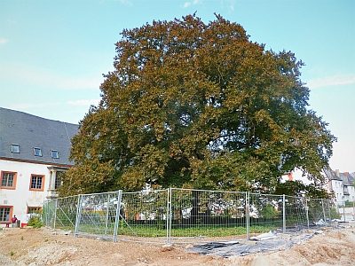 70 m
Beeches
Blutbuche Martinskloster
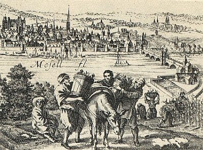 70 m
Vineyard Sites
Bei der Sankt Martinspforte
 70 m
Town Houses and Commercial Buildings