Street Names · Gothic
Ehemalige Weingasse


© GeoBasis-DE / LVermGeoRP, dl-de/by-2-0
There is no picture of this object yet. Do you have a photo that you would like to make available to the Kulturdatenbank? Submit a picture
Description
This description is only available in German.
Translate with Google opens this page in Google Translate (external service)
Verbindung der Dietrichstraße mit der Böhmerstraße. [Red.
Nach Vollendung des Seminargebäudes 1673 wurde die Weingasse gesperrt und dem Seminar als Eigentum zur Verfügung gestellt. Von nun an war die Durchfahrt durch die drei Tore lediglich noch in Notfällen gestattet. [1]
Classification
- Subject area
- History
- Category
- Place Names / Local History
- Object type
- Street Names
- Date
- Um 1500
- Period
- Gothic
Location
- District
- City of Trier
- Collective municipality
- Verbandsfreie Gemeinde Trier
- Town
- Trier
- Locality / location
- Mitte-Gartenfeld
- Field name
- Ortslage
- Coordinates
- WGS 84: 49.757510, 6.637327 (Position: exact) WGS 84: 49° 45′ 27.0″ N, 6° 38′ 14.4″ E UTM 32 (ETRS89): E 329832 · N 5514349
Sources
Data sources
- [1] Karl-August Heise: Der Niolaus-Koch-Platz - Entwicklung eines städtischen Platzes seit dem 16. Jahrhundert. In: Neues Trierisches Jahrbuch 2001. Hrsg. Verein Trierisch.
On the internet
Last edited: 3 Feb 2022 Object ID: 51554
https://kulturdb.de/en/objekt/51554-trier-ehemalige-weingasse
Nearby
The nearest objects
Town Houses and Commercial Buildings
Ehemaliges Gebäude Dietrichstraße 15
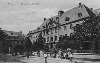 20 m
Schools
Lambertinum
Town Houses and Commercial Buildings
Ehem. Schöffenhof - Das kleine Herrn Wolffens Haus
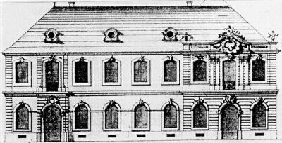 30 m
Schools
Geplante Erweiterung der Trierer Universität
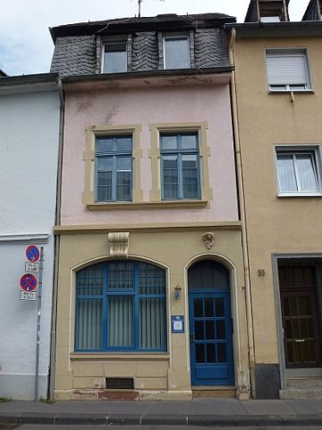 40 m
Town Houses and Commercial Buildings
Gebäude Dietrichstraße 32
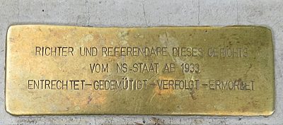 40 m
Stolpersteine (Stumbling Stones)
Stolperstein für Dr. Albert Baum
 40 m
Town Houses and Commercial Buildings
Ehemaliges Gebäude Dietrichstraße 31
 40 m
Works of Art