Street Names · 20th Century
Peter-Lambert-Straße


© GeoBasis-DE / LVermGeoRP, dl-de/by-2-0
There is no picture of this object yet. Do you have a photo that you would like to make available to the Kulturdatenbank? Submit a picture
Description
This description is only available in German.
Translate with Google opens this page in Google Translate (external service)
Benannt nach Peter Lambert (1859 – 1938), Trierer Landschaftsgärtner und Rosenzüchter, der hunderte neuer Spielarten gezogen hat. Vorheriger Name: Fährenstraße. [1]
Classification
- Subject area
- History
- Category
- Place Names / Local History
- Object type
- Street Names
- Date
- 1938 (Benennung)
- Period
- 20th Century
Location
- District
- City of Trier
- Collective municipality
- Verbandsfreie Gemeinde Trier
- Town
- Trier
- Locality / location
- Trier-Nord
- Street
- Peter-Lambert-Straße
- Field name
- Ortslage
- Coordinates
- WGS 84: 49.769130, 6.645672 (Position: exact) WGS 84: 49° 46′ 08.9″ N, 6° 38′ 44.4″ E UTM 32 (ETRS89): E 330473 · N 5515622
Sources
Data sources
- [1] Trier - Stadtplan Leben in Trier. https://geoportal.trier.de/trier/index.php Abfrage: 05.03.2022
On the internet
Last edited: 5 Mar 2022 Object ID: 51573
https://kulturdb.de/en/objekt/51573-trier-nord-peter-lambert-strasse
Nearby
The nearest objects
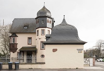 40 m
Town Houses and Commercial Buildings
Gartenhaus
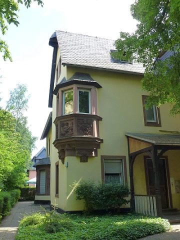 50 m
Town Houses and Commercial Buildings
Wohnhaus
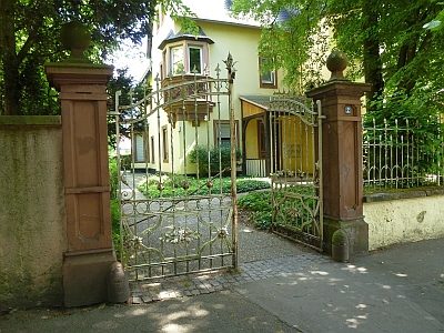 50 m
Town Houses and Commercial Buildings
Wohnhaus - Zaun mit Tor
Roman Tombs
Römische Gräber und Grabbauten
Deserted Settlements
Sankt Marien auch Sainte Marie oder Sankt Mergen
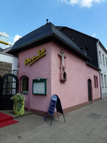 70 m
Wayside Shrines and Stations of the Cross
Spätgotischer Bildstock
 130 m
Vineyard Sites
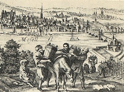
Mergen (Dorf bei der Abtei St Maria ad Martyres)
 130 m
Plane Trees