Street Names · 20th Century
Am Zündel


© GeoBasis-DE / LVermGeoRP, dl-de/by-2-0
There is no picture of this object yet. Do you have a photo that you would like to make available to the Kulturdatenbank? Submit a picture
Description
This description is only available in German.
Translate with Google opens this page in Google Translate (external service)
Benannt nach der im Jahre 1549 gegossenen Glocke der Gangolfkirche, die bis ins 20. Jahrhundert hinein als Brandalarmglocke benutzt wurde. [1]
Classification
- Subject area
- History
- Category
- Place Names / Local History
- Object type
- Street Names
- Date
- 1958
- Period
- 20th Century
Location
- District
- City of Trier
- Collective municipality
- Verbandsfreie Gemeinde Trier
- Town
- Trier
- Locality / location
- Mitte-Gartenfeld
- Street
- Am Zündel
- Field name
- Ortslage
- Coordinates
- WGS 84: 49.755284, 6.639548 (Position: exact) WGS 84: 49° 45′ 19.0″ N, 6° 38′ 22.4″ E UTM 32 (ETRS89): E 329984 · N 5514096
Sources
Data sources
- [1] © Stadt Trier (2022) / dl-de/by2-0, www.trier.de, [Daten bearbeitet].
- Grundlage der Datenerfassung: "Die Straßennamen der Stadt Trier.“ Nach Vorarbeiten von Emil Zenz, herausgegeben vom Kulturbüro der Stadt Trier, 2006.
On the internet
Last edited: 6 Mar 2022 Object ID: 51574
https://kulturdb.de/en/objekt/51574-trier-am-zuendel
Nearby
The nearest objects
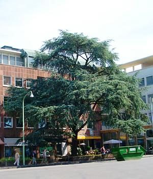 40 m
Cedars
Atlas-Zeder am Kornmarkt
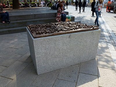 40 m
Town Models
Stadtmodell - Bronzerelief der Trierer Altstadt
Street Names
Johann-Philip-Straße
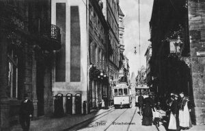 60 m
Town Houses and Commercial Buildings
Ehemaliges Bürgerhaus Fleischstraße 14
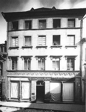 60 m
Town Houses and Commercial Buildings
Ehemalige Gebäude Fleischstraße 14
60 m
Town Houses and Commercial Buildings
Ehemaliges Gebäude Fleischstraße 14
Medieval Tower Houses
Ehemaliger Wohnturm Zum Hohen Giebel
Town Houses and Commercial Buildings