Field Names · Neoclassicism
Dauwelsberg


© GeoBasis-DE / LVermGeoRP, dl-de/by-2-0
There is no picture of this object yet. Do you have a photo that you would like to make available to the Kulturdatenbank? Submit a picture
Description
This description is only available in German.
Translate with Google opens this page in Google Translate (external service)
1819, 1923 Dauwelsberg
1850, 1923 Am Dauwelsberg
1850, 1923 Ober dem Dauwelsberg
1819 Auf dem Daufelsberg
1850 Unter dem Dauwelsberg
Bedeutung: Teufelsberg, wohl Benennung für seine verrufenen Örtlichkeit. Gelände, das an diesen Berg grenzt. [1]
Classification
- Subject area
- History
- Category
- Field Names
- Date
- 1819
- Period
- Neoclassicism
Location
- District
- Trier-Saarburg
- Collective municipality
- Hermeskeil
- Municipality
- Beuren (Hochwald)
- Locality / location
- Prosterath
- Field name
- Dauwelsberg
- Coordinates
- WGS 84: 49.742312, 6.927183 (Position: exact) WGS 84: 49° 44′ 32.3″ N, 6° 55′ 37.9″ E UTM 32 (ETRS89): E 350660 · N 5512042
Sources
Data sources
- [1] Anna Peetz: Die Mundart von Beuren und die Gewässer- und Flurnamen der Gemeinde Beuren. In: Heimatbuch der Gemeinde Beuren im Hochwald. Beuren/Prosterath 1988 (Selbstverlag der Gemeinde).
On the internet
Last edited: 20 Mar 2022 Object ID: 51597
https://kulturdb.de/en/objekt/51597-beuren-hochwald-dauwelsberg
Nearby
The nearest objects
 180 m
Viewpoints
Aussichtspunkt Wacken
 340 m
Rocks
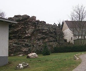
Prosterather Wacken
Field Names
Beim Klingelborn
Place Names / Local History
Die Mark Thalfang
Bell Foundries
Glockengießerei Cornely
Field Names
In der Perg
 570 m
Altars
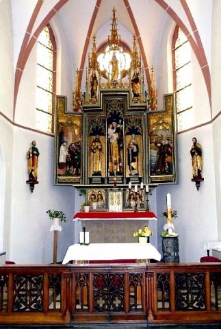
Sankt Antonius von Padua - Hochaltar
 580 m
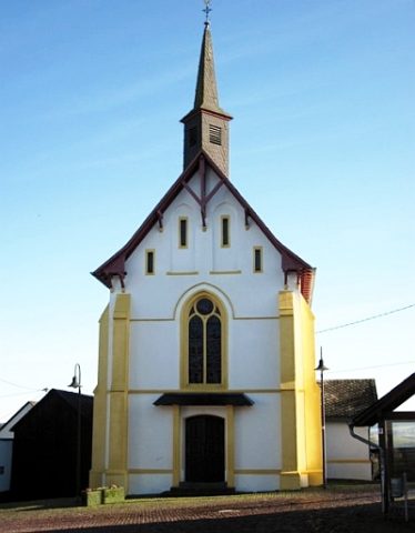
Catholic Churches