Street Names · 20th Century
Am Beutelweg


© GeoBasis-DE / LVermGeoRP, dl-de/by-2-0
There is no picture of this object yet. Do you have a photo that you would like to make available to the Kulturdatenbank? Submit a picture
Description
This description is only available in German.
Translate with Google opens this page in Google Translate (external service)
Wohl eine Klammerform von Beutel(mühlen)weg: In der Beutelmühle wird gebeutelt = gesiebt. [1]
Classification
- Subject area
- History
- Category
- Place Names / Local History
- Object type
- Street Names
- Date
- 1951
- Period
- 20th Century
Location
- District
- City of Trier
- Collective municipality
- Verbandsfreie Gemeinde Trier
- Town
- Trier
- Locality / location
- Trier-Nord
- Street
- Am Beutelweg
- Field name
- Ortslage
- Coordinates
- WGS 84: 49.765788, 6.660338 (Position: exact) WGS 84: 49° 45′ 56.8″ N, 6° 39′ 37.2″ E UTM 32 (ETRS89): E 331518 · N 5515217
Sources
Data sources
- [1] Trier - Stadtplan Leben in Trier. https://geoportal.trier.de/trier/index.php Abfrage: 05.03.2022
On the internet
Last edited: 14 Apr 2022 Object ID: 51645
https://kulturdb.de/en/objekt/51645-trier-nord-am-beutelweg
Nearby
The nearest objects
 70 m
Catholic Churches
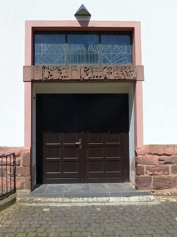
Sankt Ambrosius - Fresken über dem rechtem Eingang
 70 m
Catholic Churches
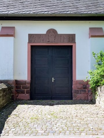
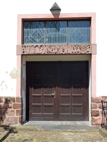
Sankt Ambrosius - Seiteneingang
 70 m
Catholic Churches
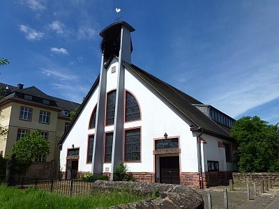
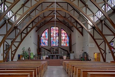
Sankt Ambrosius
 80 m
Works of Art
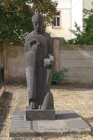
Sankt Ambrosius - Statue
Wayside Shrines and Stations of the Cross
Sankt Ambrosius - Kreuz
 80 m
Catholic Churches
Sankt Ambrosius - Fresken über dem linken Eingang
 90 m
Organs
Sankt Ambrosius - Orgel
Barracks