Street Names · 20th Century
Osbüsch


© GeoBasis-DE / LVermGeoRP, dl-de/by-2-0
There is no picture of this object yet. Do you have a photo that you would like to make available to the Kulturdatenbank? Submit a picture
Description
This description is only available in German.
Translate with Google opens this page in Google Translate (external service)
Entweder von althochdeutsch ahso = Ochse oder von dem Personennamen Ochsen als Besitzer der Flur abgeleitet. [1]
Classification
- Subject area
- History
- Category
- Place Names / Local History
- Object type
- Street Names
- Date
- 1978
- Period
- 20th Century
Location
- District
- City of Trier
- Collective municipality
- Verbandsfreie Gemeinde Trier
- Town
- Trier
- Locality / location
- Kernscheid
- Street
- Osbüsch
- Field name
- Ortslage
- Coordinates
- WGS 84: 49.725437, 6.680963 (Position: exact) WGS 84: 49° 43′ 31.6″ N, 6° 40′ 51.5″ E UTM 32 (ETRS89): E 332864 · N 5510686
Sources
Data sources
- [1] Die Straßennamen in Trier. Nach Vorarbeiten von Emil Zenz, hg. vom Kulturbüro der Stadt Trier, 2003.
On the internet
Last edited: 14 Apr 2022 Object ID: 51646
https://kulturdb.de/en/objekt/51646-trier-osbuesch
Nearby
The nearest objects
Street Names
Morgenweg
Street Names
Brubacher Weg
 290 m
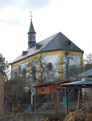
Catholic Churches
Sankt Katharina und Barbara
 310 m
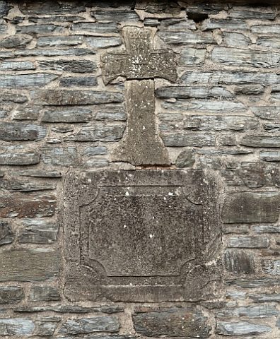
Wayside Shrines and Stations of the Cross
Ehemaliges Grabkreuz
 310 m
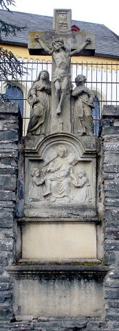
Wayside Shrines and Stations of the Cross
Kreuzigungsbildstock Kirchhof
Street Names
Im Holzgarten
Street Names
Zum Domherrenwald
Field Names