Street Names · Undated
Ehemalige Biergasse
Heute: Mechtelstraße


© GeoBasis-DE / LVermGeoRP, dl-de/by-2-0
There is no picture of this object yet. Do you have a photo that you would like to make available to the Kulturdatenbank? Submit a picture
Description
This description is only available in German.
Translate with Google opens this page in Google Translate (external service)
Die Biergasse (heute Mechtelstraße) ist die Verbinungsstraße vom Spielesplatz über das Plätzgen (Blaaz) zur Schweinsgasse (heute Residenzstraße). Sie hatte ihren Namen, weil früher hier der Halter des Ebers wohnte. In der Mundart hieß es früher, das Schwein ist "bierisch". [1]
Classification
- Subject area
- History
- Category
- Place Names / Local History
- Object type
- Street Names
- Date
- Undatiert
- Period
- Undated
Location
- District
- City of Trier
- Collective municipality
- Verbandsfreie Gemeinde Trier
- Town
- Trier
- Locality / location
- Pfalzel
- Street
- Mechtelstraße
- Field name
- Ortslage
- Coordinates
- WGS 84: 49.780250, 6.692378 (Position: exact) WGS 84: 49° 46′ 48.9″ N, 6° 41′ 32.6″ E UTM 32 (ETRS89): E 333874 · N 5516753
Sources
Data sources
- [1] Pfalzel - Geschichte und Gegenwart. Hrsg.: Arbeitsgemeinschaft Pfalzeler Chronik, 1989.
On the internet
Last edited: 22 Apr 2022 Object ID: 51653
https://kulturdb.de/en/objekt/51653-trier-ehemalige-biergasse
Nearby
The nearest objects
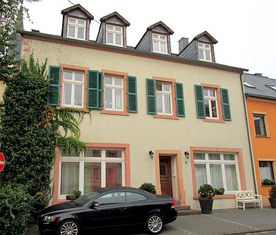 10 m
Town Houses and Commercial Buildings
Vierachsiger Putzbau
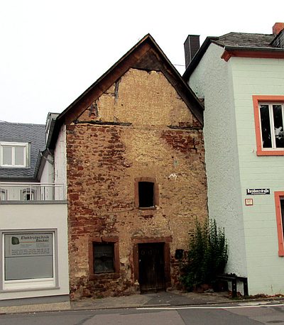 30 m
Extraction and Processing of Raw Materials
Ehemalige Schmiede
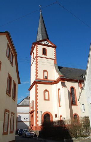 30 m
Catholic Churches
Ehemalige Kirche Sankt Martin
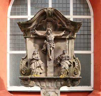 40 m
Wayside Shrines and Stations of the Cross
Ehemalige Kirche Sankt Martin - Bildstock
Town Houses and Commercial Buildings
Wohnhaus
Street Names
Ehemalige Schweinsgasse
 50 m
Town Houses and Commercial Buildings
Quereinhaus
 70 m
Town Fortifications