Street Names · Renaissance
Spielesplatz


© GeoBasis-DE / LVermGeoRP, dl-de/by-2-0
There is no picture of this object yet. Do you have a photo that you would like to make available to the Kulturdatenbank? Submit a picture
Description
This description is only available in German.
Translate with Google opens this page in Google Translate (external service)
Spieles (nach Grimms Wörterbuch) ländliche Ratshäuser, die Spielhäuser genannt wurden, weil dort zum Tanz aufgespielt und vielfach die Hochzeiten gefeiert wurden. 1504 "hinter dem gemeinen Spielehuise".
Classification
- Subject area
- History
- Category
- Place Names / Local History
- Object type
- Street Names
- Date
- 1504
- Period
- Renaissance
Location
- District
- City of Trier
- Collective municipality
- Verbandsfreie Gemeinde Trier
- Town
- Trier
- Locality / location
- Pfalzel
- Street
- Spielesplatz
- Field name
- Ortslage
- Coordinates
- WGS 84: 49.779596, 6.693011 (Position: exact) WGS 84: 49° 46′ 46.5″ N, 6° 41′ 34.8″ E UTM 32 (ETRS89): E 333918 · N 5516679
Sources
Data sources
- [1] Die Straßennamen in Trier. Nach Vorarbeiten von Emil Zenz, hg. vom Kulturbüro der Stadt Trier, 2003.
On the internet
Last edited: 22 Apr 2022 Object ID: 51655
https://kulturdb.de/en/objekt/51655-trier-spielesplatz
Nearby
The nearest objects
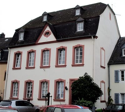 10 m
Fountains and Wells
Ehemals öffentlicher Brunnen
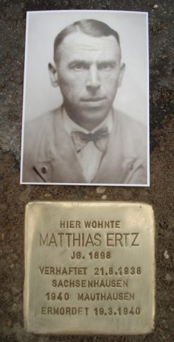 10 m
Stolpersteine (Stumbling Stones)
Stolperstein für Matthias Ertz
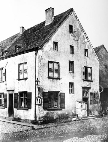 20 m
Administrative Buildings
Sogenanntes Rosportsches Haus
20 m
Town Halls
Ehemalige Amtsbürgermeisterei Pfalzel
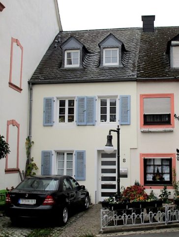 20 m
Town Houses and Commercial Buildings
Wohnhaus
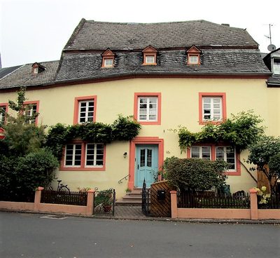 20 m
Farmhouses and Farm Buildings
Mansarddachbau Spielesplatz 10
Town Fortifications
Moseltor
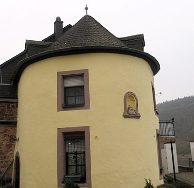 30 m
Town Fortifications