Fortresses and Bunkers · Undated
Luftschutzbunker


© GeoBasis-DE / LVermGeoRP, dl-de/by-2-0
There is no picture of this object yet. Do you have a photo that you would like to make available to the Kulturdatenbank? Submit a picture
Classification
- Subject area
- Architectural and Art Monuments
- Object type
- Fortresses and Bunkers
- Date
- Undatiert
- Period
- Undated
Location
- District
- City of Trier
- Collective municipality
- Verbandsfreie Gemeinde Trier
- Town
- Trier
- Locality / location
- Euren
- Street
- Sankt-Helena-Straße
- Field name
- Ortslage
- Coordinates
- WGS 84: 49.739956, 6.606140 (Position: exact) WGS 84: 49° 44′ 23.8″ N, 6° 36′ 22.1″ E UTM 32 (ETRS89): E 327524 · N 5512469
Sources
Data sources
- [1] Jörg Busch, Trier-Biewer, 2022.
- [2] Plan der Stadt Trier und Umgebung. Ungefährer Massstab 1:10.000. Herausgegeben vom Städtischen Vermessungsamt 1947.
On the internet
Last edited: 2 May 2022 Object ID: 51669
https://kulturdb.de/en/objekt/51669-trier-luftschutzbunker
Nearby
The nearest objects
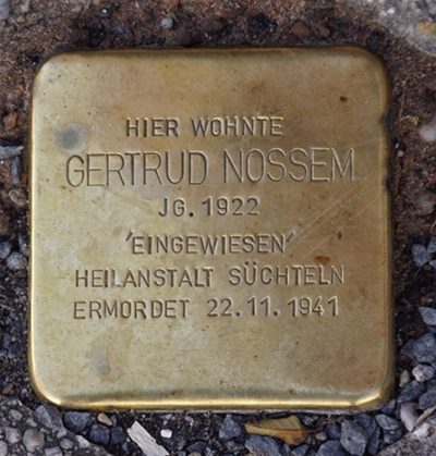 20 m
Stolpersteine (Stumbling Stones)
Stolperstein für Gertrud Nossem
 20 m
Lime Trees
Linde
30 m
Lime Trees
Linde
30 m
Maples
Bergahorn
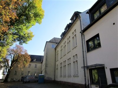 50 m
Schools
Johann-Herrmann Grundschule
No picture
80 m
Street Names
Burgmühlenstraße
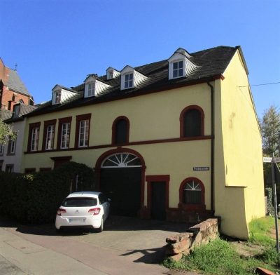 90 m
Town Houses and Commercial Buildings
Quereinhaus
No picture
140 m
Field Names