Fountains and Wells · Gothic
Sankt Peter - Brunnenschacht
- Protection of cultural property (Hague Convention)
- Listed monument


© GeoBasis-DE / LVermGeoRP, dl-de/by-2-0
There is no picture of this object yet. Do you have a photo that you would like to make available to the Kulturdatenbank? Submit a picture
Description
This description is only available in German.
Translate with Google opens this page in Google Translate (external service)
Der bis zur Talsohle reichende Brunnenschacht vor dem Ostende des nördlichen Seitenschiffs stammt vielleicht noch aus dem Mittelalter, während das ungewöhnliche zum Teil aus zweitverwendeten Werksteinen gemauerte Brunnenhäuschen jünger sein dürfte. [1]
Classification
- Subject area
- Architectural and Art Monuments
- Category
- Fountains and Wells
- Date
- ca. 500 bis ca. 700
- Period
- Gothic
Location
- District
- Eifelkreis Bitburg-Prüm
- Collective municipality
- Südeifel
- Municipality
- Roth an der Our
- Locality / location
- Roth
- Street
- Johanniterstraße 19
- Field name
- Beim Schloß
- Coordinates
- WGS 84: 49.926010, 6.222152 (Position: exact) WGS 84: 49° 55′ 33.6″ N, 6° 13′ 19.7″ E UTM 32 (ETRS89): E 300628 · N 5534104
Sources
Data sources
- [1] Denkmaltopographie Bundesrepublik Deutschland, Kulturdenkmäler in Rheinland-Pfalz, Kreis Bitburg-Prüm, 9.3 Wernersche Verlagsgesellschaft ISBN 3-88462-170-X
On the internet
Last edited: 2 Jul 2022 Object ID: 51800
https://kulturdb.de/en/objekt/51800-roth-an-der-our-sankt-peter-brunnenschacht
Nearby
The nearest objects
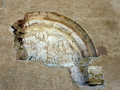 less than 10 m
Catholic Churches
Sankt Peter - Tympanon
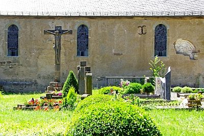 20 m
Wayside Shrines and Stations of the Cross
Sankt Peter - Sogenanntes Pestkreuz
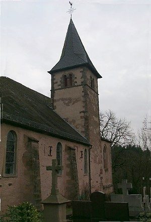 20 m
Catholic Churches
Sankt Peter
Catholic Churches
Sankt Peter, Johanniterkirche (2)
Catholic Churches
Sankt Peter, Johanniterkirche (4)
Pilgrimage Sites
Wallfahrtskreuz vor der Johanniterkirche
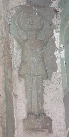 30 m
Catholic Churches
Sankt Peter - Rother Männchen
 50 m
Lime Trees