Burial Mounds · Undated
Hügelgrab
- Listed monument


© GeoBasis-DE / LVermGeoRP, dl-de/by-2-0
There is no picture of this object yet. Do you have a photo that you would like to make available to the Kulturdatenbank? Submit a picture
Classification
- Subject area
- Archaeological Monuments
- Category
- Burials
- Object type
- Burial Mounds
- Date
- Undatiert
- Period
- Undated
Location
- District
- Eifelkreis Bitburg-Prüm
- Collective municipality
- Südeifel
- Municipality
- Kruchten
- Locality / location
- Neuafrika
- Field name
- Im Bambüsch
- Coordinates
- WGS 84: 49.896180, 6.329649 (Position: exact) WGS 84: 49° 53′ 46.2″ N, 6° 19′ 46.7″ E UTM 32 (ETRS89): E 308224 · N 5530507
Sources
Data sources
- [1] Topographische Karte 1:25000 von 1960 https://geo4.service24.rlp.de/client/lf/lawa/
On the internet
Last edited: 20 Aug 2022 Object ID: 51872
https://kulturdb.de/en/objekt/51872-kruchten-huegelgrab
Nearby
The nearest objects
No picture
less than 10 m
Find Sites
Römische Streufunde
No picture
310 m
Field Names
Kordenusdell
No picture
310 m
Find Sites
Eisenzeitliche Keramik
No picture
330 m
Place Names / Local History
Ortsgeschichte Neuafrika
No picture
490 m
Field Names
Auf der Gleicht
No picture
780 m
Field Names
Auf dem Scheid
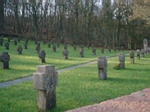 840 m
War Cemeteries
Heldenfriedhof
No picture
970 m
Settlements