Burial Mounds · Undated
Grabhügel
- Listed monument


© GeoBasis-DE / LVermGeoRP, dl-de/by-2-0
There is no picture of this object yet. Do you have a photo that you would like to make available to the Kulturdatenbank? Submit a picture
Classification
- Subject area
- Archaeological Monuments
- Category
- Burials
- Object type
- Burial Mounds
- Date
- Undatiert
- Period
- Undated
Location
- District
- Trier-Saarburg
- Collective municipality
- Ruwer
- Municipality
- Bonerath
- Field name
- Oedle Triesch
- Coordinates
- WGS 84: 49.684029, 6.786522 (Position: exact) WGS 84: 49° 41′ 02.5″ N, 6° 47′ 11.5″ E UTM 32 (ETRS89): E 340336 · N 5505853
Sources
Data sources
- Topographische Karte 1:25000 von 2015 https://geo4.service24.rlp.de/client/lf/lawa/
On the internet
Last edited: 20 Aug 2022 Object ID: 51880
https://kulturdb.de/en/objekt/51880-bonerath-grabhuegel
Nearby
The nearest objects
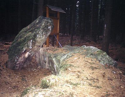 less than 10 m
Standing Stones, Menhirs
Hünengrab Drei Mörder (1)
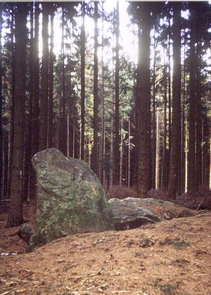 less than 10 m
Standing Stones, Menhirs
Hünengrab Drei Mörder (2)
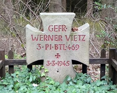 200 m
Burial Sites
Soldatengrab Werner Vietz
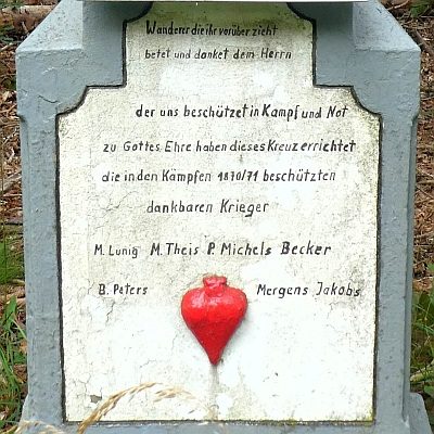 210 m
Wayside Shrines and Stations of the Cross
Neukreuz
No picture
540 m
Field Names
Vorderst Buchröder
No picture
550 m
Field Names
Bei der Lehmkaul
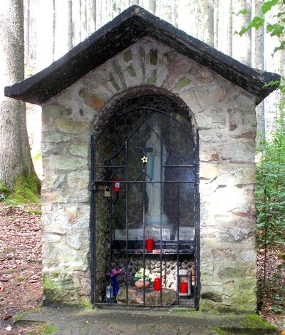 560 m
Chapels
Waldkapelle
No picture
590 m
Wayside Shrines and Stations of the Cross