Flood Marks · 20th Century
Hochwassermarke Bahnunterführung Nittel


Description
This description is only available in German.
Translate with Google opens this page in Google Translate (external service)
Hochwassermarke Bahnunterführung Nittel, datiert April 1983. [1]
Classification
- Subject area
- Architectural and Art Monuments
- Category
- Markers and Monuments
- Object type
- Flood Marks
- Date
- 1983
- Period
- 20th Century
Location
- District
- Trier-Saarburg
- Collective municipality
- Konz
- Municipality
- Nittel
- Field name
- [Mosel]
- Coordinates
- WGS 84: 49.653927, 6.440786 (Position: exact) WGS 84: 49° 39′ 14.1″ N, 6° 26′ 26.8″ E UTM 32 (ETRS89): E 315285 · N 5503299
Sources
Data sources
- [1] Michael Grün, Trier, 2022.
On the internet
Picture credits
Last edited: 28 Sep 2023 Object ID: 51936
https://kulturdb.de/en/objekt/51936-nittel-hochwassermarke-bahnunterfuehrung-nittel
Nearby
The nearest objects
No picture
70 m
Railways
Haltepunkt Nittel
 70 m
Ferries
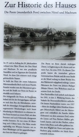
Ehemalige Kahnfähre
 180 m
Chapels
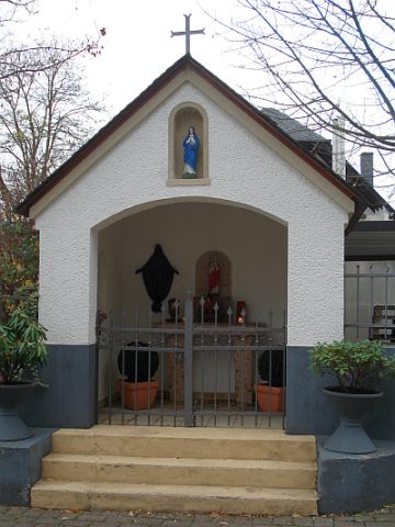
Wegekapelle und Kreuzigungsbildstock
No picture
190 m
Vineyard Sites
Blümchen
 190 m
Wayside Shrines and Stations of the Cross
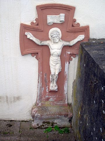
Bildstock
No picture
240 m
Vineyard Sites
Blümchen
 290 m
Ferries
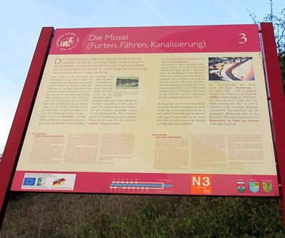
Ehemalige Moselfähre zwischen Nittel und Machtum
No picture
330 m
Field Names