Deserted Settlements · Neoclassicism
Halbe Meile


© GeoBasis-DE / LVermGeoRP, dl-de/by-2-0
There is no picture of this object yet. Do you have a photo that you would like to make available to the Kulturdatenbank? Submit a picture
Classification
- Subject area
- Archaeological Monuments
- Category
- Settlements
- Object type
- Deserted Settlements
- Date
- 1846
- Period
- Neoclassicism
Location
- District
- Eifelkreis Bitburg-Prüm
- Collective municipality
- Prüm
- Municipality
- Gondenbrett
- Locality / location
- Wascheid
- Field name
- Auf Steinigert
- Coordinates
- WGS 84: 50.252408, 6.434548 (Position: exact) WGS 84: 50° 15′ 08.7″ N, 6° 26′ 04.4″ E UTM 32 (ETRS89): E 317117 · N 5569844
Sources
Data sources
- [1] Preußische Kartenaufnahme, Maßstab 1:25000, Uraufnahme (1843 - 1878), Blattnummer:3313, Jahrgang: 1846, Blattname: Prüm.
On the internet
Last edited: 17 Oct 2022 Object ID: 51994
https://kulturdb.de/en/objekt/51994-gondenbrett-halbe-meile
Nearby
The nearest objects
No picture
330 m
Wayside Shrines and Stations of the Cross
Wegekreuz
 350 m
Fortresses and Bunkers
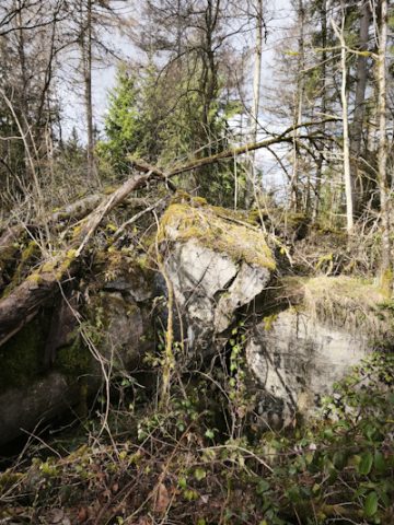
Westwall - Regiments-Befehlsstelle
No picture
960 m
Field Names
Faulenborn
No picture
1.1 km
Field Names
Auf der Acht
No picture
1.1 km
Recreation and Sports Facilities
Ehemalige Sprungschanze am Steingert
No picture
1.1 km
Wayside Shrines and Stations of the Cross
Lohnertkreuz
No picture
1.3 km
Field Names
Rechendell
No picture
1.5 km
Field Names