Field Names · Undated
Auf Katzenbüsch


© GeoBasis-DE / LVermGeoRP, dl-de/by-2-0
There is no picture of this object yet. Do you have a photo that you would like to make available to the Kulturdatenbank? Submit a picture
Description
This description is only available in German.
Translate with Google opens this page in Google Translate (external service)
Katze – In den Zusammensetzungen mit -heck, -loch, kaul, -winkel und andere ist wohl an das Tier, und meist wohl an die im Rheinland ausgerottete Wildkaze zu denken. [1]
Büsch – 1. Einzelner Busch (doch wohl selten). 2. Wald, der größte wie der kleinste. Ursprünglich bezeichnete 'Busch' nur den Niederwald (Bauernwald). [1]
Classification
- Subject area
- History
- Category
- Field Names
- Date
- Undatiert
- Period
- Undated
Location
- District
- City of Trier
- Collective municipality
- Verbandsfreie Gemeinde Trier
- Town
- Trier
- Locality / location
- Trier-West/Pallien
- Field name
- Auf Katzenbüsch
- Coordinates
- WGS 84: 49.767516, 6.615228 (Position: exact) WGS 84: 49° 46′ 03.1″ N, 6° 36′ 54.8″ E UTM 32 (ETRS89): E 328276 · N 5515512
Sources
Data sources
- [1] Dittmaier, Heinrich: Rheinische Flurnamen. Ludwig Röhrscheid Verlag, Bonn, 1963.
On the internet
Last edited: 31 Oct 2022 Object ID: 52044
https://kulturdb.de/en/objekt/52044-trier-west-pallien-auf-katzenbuesch
Nearby
The nearest objects
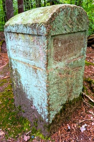 120 m
Surveying
Historischer Wegestein Wilhelmshöhe
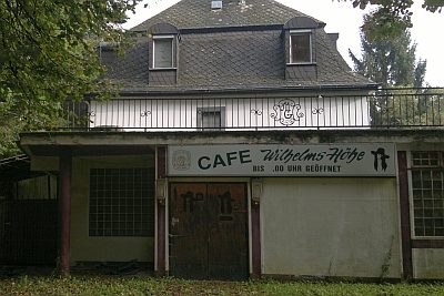 160 m
Catering, Inns and Hotels
Ehemaliges Café Wilhelmshöhe
 170 m
Beeches
Rotbuche
250 m
Beeches
Rotbuche
Fords
Eselfurt über den Gillenbach
320 m
Beeches
Rotbuche
Road Transport
Eselfurtbrücke an der Bitburger Straße
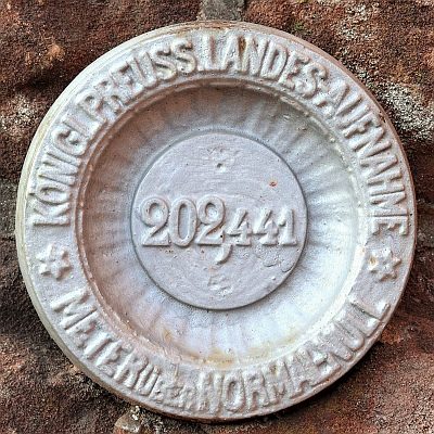 330 m
Surveying