Flood Marks · Undated
Torbogen mit Hochwassermarken


Description
This description is only available in German.
Translate with Google opens this page in Google Translate (external service)
Wohn- und Wirtschaftsgebäude Am Markt 37 mit Torbogen. Am Torbogen sind Hochwassermarken von 1784 bis 1997 aufgetragen.
Von oben nach unten:
1784
12.1.1651
24.12.1993
22.12.1874
31.12.1925
15.1.1920
31.12.1947
3.11.1924
23.1.1995
28.5.1983
10.1.1955
12.4.1983
11.2.1958
1.1.1982
28.2.1997
25.2.1958
2.3.1982
31.1.1993
13.5.1970
21.2.1977 [1]
Classification
- Subject area
- Architectural and Art Monuments
- Category
- Markers and Monuments
- Object type
- Flood Marks
- Date
- Undatiert
- Period
- Undated
Location
- District
- Bernkastel-Wittlich
- Collective municipality
- Bernkastel-Kues
- Municipality
- Lieser
- Street
- Am Markt 37
- Field name
- Ortslage
- Coordinates
- WGS 84: 49.917345, 7.022011 (Position: exact) WGS 84: 49° 55′ 02.4″ N, 7° 01′ 19.2″ E UTM 32 (ETRS89): E 358005 · N 5531316
Sources
Data sources
- [1] Michael Grün, Trier, 2022.
On the internet
Picture credits
Last edited: 18 Oct 2023 Object ID: 52104
https://kulturdb.de/en/objekt/52104-lieser-torbogen-mit-hochwassermarken
Nearby
The nearest objects
 less than 10 m
Farmhouses and Farm Buildings
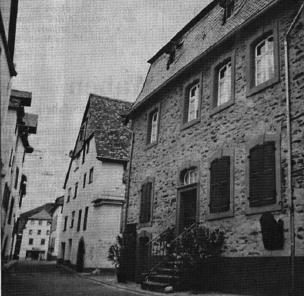
Zehnthaus
Jewish Cemeteries
Alter jüdischer Friedhof
Synagogues
Ehemalige Synagoge
 30 m
Market Towns
Marktort Lieser
Farmhouses and Farm Buildings
Wohnhaus
 40 m
Wayside Shrines and Stations of the Cross
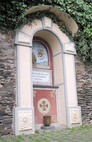
Bildstock und Nische mit Christusfigur
 60 m
War Memorials
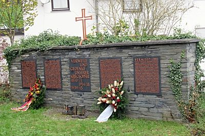
Kriegerdenkmal 1870/71 - 1914/18 - 1939/45
Wayside Shrines and Stations of the Cross