Field Names · Undated
In der Muhl


© GeoBasis-DE / LVermGeoRP, dl-de/by-2-0
There is no picture of this object yet. Do you have a photo that you would like to make available to the Kulturdatenbank? Submit a picture
Description
This description is only available in German.
Translate with Google opens this page in Google Translate (external service)
Muhl (Mulde, Molde, Mohl) — Bedeutung: Backtrog dann flache Vertiefung im Gelände. [1]
Classification
- Subject area
- History
- Category
- Field Names
- Date
- Undatiert
- Period
- Undated
Location
- District
- Eifelkreis Bitburg-Prüm
- Collective municipality
- Bitburger Land
- Municipality
- Wißmannsdorf
- Field name
- In der Muhl
- Coordinates
- WGS 84: 49.986753, 6.452029 (Position: exact) WGS 84: 49° 59′ 12.3″ N, 6° 27′ 07.3″ E UTM 32 (ETRS89): E 317355 · N 5540269
Sources
Data sources
- [1] Dittmaier, Heinrich: Rheinische Flurnamen. Ludwig Röhrscheid Verlag, Bonn, 1963.
On the internet
Last edited: 25 Jan 2023 Object ID: 52195
https://kulturdb.de/en/objekt/52195-wissmannsdorf-in-der-muhl
Nearby
The nearest objects
Field Names
Auf dem Süß
Wayside Shrines and Stations of the Cross
Wegekreuz
Field Names
Im Süßgarten
Field Names
Auf Meiers
Farmhouses and Farm Buildings
Wohnhaus
Wayside Shrines and Stations of the Cross
Nischenkreuz
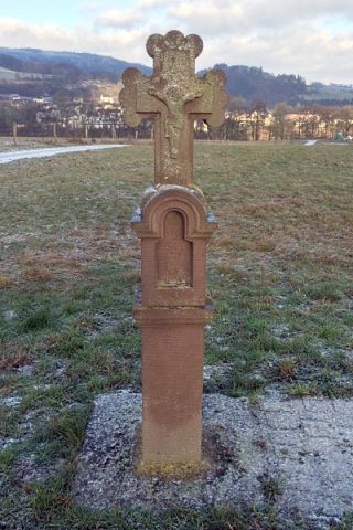 590 m
Wayside Shrines and Stations of the Cross
Wegekreuz
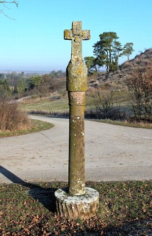 620 m
Wayside Shrines and Stations of the Cross