Field Names · Undated
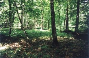
Im Frauenholz


© GeoBasis-DE / LVermGeoRP, dl-de/by-2-0
There is no picture of this object yet. Do you have a photo that you would like to make available to the Kulturdatenbank? Submit a picture
Description
This description is only available in German.
Translate with Google opens this page in Google Translate (external service)
Frauenholz — Bedeutung: Wald im Besitz einer adligen Frau oder eines Frauenklosters. [1]
Classification
- Subject area
- History
- Category
- Field Names
- Date
- Undatiert
- Period
- Undated
Location
- District
- Bernkastel-Wittlich
- Collective municipality
- Traben-Trarbach
- Municipality
- Bausendorf
- Field name
- Im Frauenholz
- Coordinates
- WGS 84: 50.004979, 7.002106 (Position: exact) WGS 84: 50° 00′ 17.9″ N, 7° 00′ 07.6″ E UTM 32 (ETRS89): E 356837 · N 5541097
Sources
Data sources
On the internet
Last edited: 1 Nov 2022 Object ID: 52215
https://kulturdb.de/en/objekt/52215-bausendorf-im-frauenholz
Nearby
The nearest objects
Field Names
Im Frauenholz
Find Sites
Frührömische Funde
Chapels
Kapelle
 570 m
Surveying
Konfluenzpunkt 50° Nord und 7° Ost
 740 m
Settlements
Römische Siedlungsspuren
Chapels
Wegekapelle
Wayside Shrine Houses
Heiligenhäuschen
890 m
Settlements