Rocks · Undated
Derborg
- Listed monument
Description
This description is only available in German.
Translate with Google opens this page in Google Translate (external service)
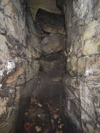
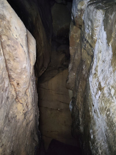
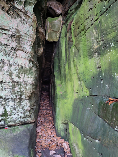
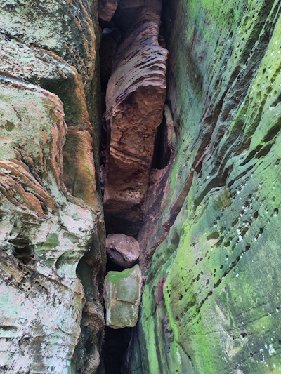
Enger Felsspalt. Laut Info-Tafel eine Fluchthöhle im 30-jährigen Krieg. [1618 bis 1648] [1]
Classification
- Subject area
- Natural Features
- Category
- Rocks
- Date
- Undatiert
- Period
- Undated
Location
- District
- Eifelkreis Bitburg-Prüm
- Collective municipality
- Südeifel
- Municipality
- Bollendorf
- Field name
- Zimmerbüsch
- Coordinates
- WGS 84: 49.857415, 6.370445 (Position: exact) WGS 84: 49° 51′ 26.7″ N, 6° 22′ 13.6″ E UTM 32 (ETRS89): E 311002 · N 5526094
Sources
Data sources
On the internet
Picture credits
Last edited: 9 Sep 2026 Object ID: 52372
https://kulturdb.de/en/objekt/52372-bollendorf-derborg
Nearby
The nearest objects
No picture
40 m
Rocks
Bildcheslay - 2. Abschnitt
 70 m
Natural Fortresses
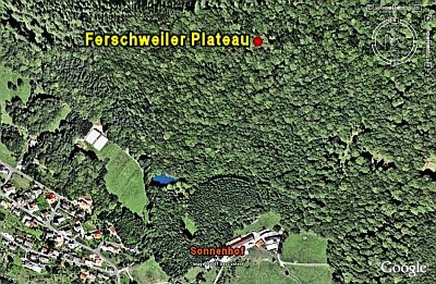
Ferschweiler Plateau
No picture
200 m
Roman Tombs
Grabhügel
No picture
200 m
Roman Tombs
Grabhügel
No picture
220 m
Roman Tombs
Grabhügel
No picture
230 m
Roman Tombs
Grabhügel
No picture
240 m
Roman Tombs
Grabhügel
No picture
240 m
Roman Tombs